A detailed travelogue of the Starlight Group’s October 11, 2025, hike along the arc of the Rumija Range—from the cobbled streets of Stari Bar to the foot of Mount Rumija and back, with a history and highlights of all the points along the route.
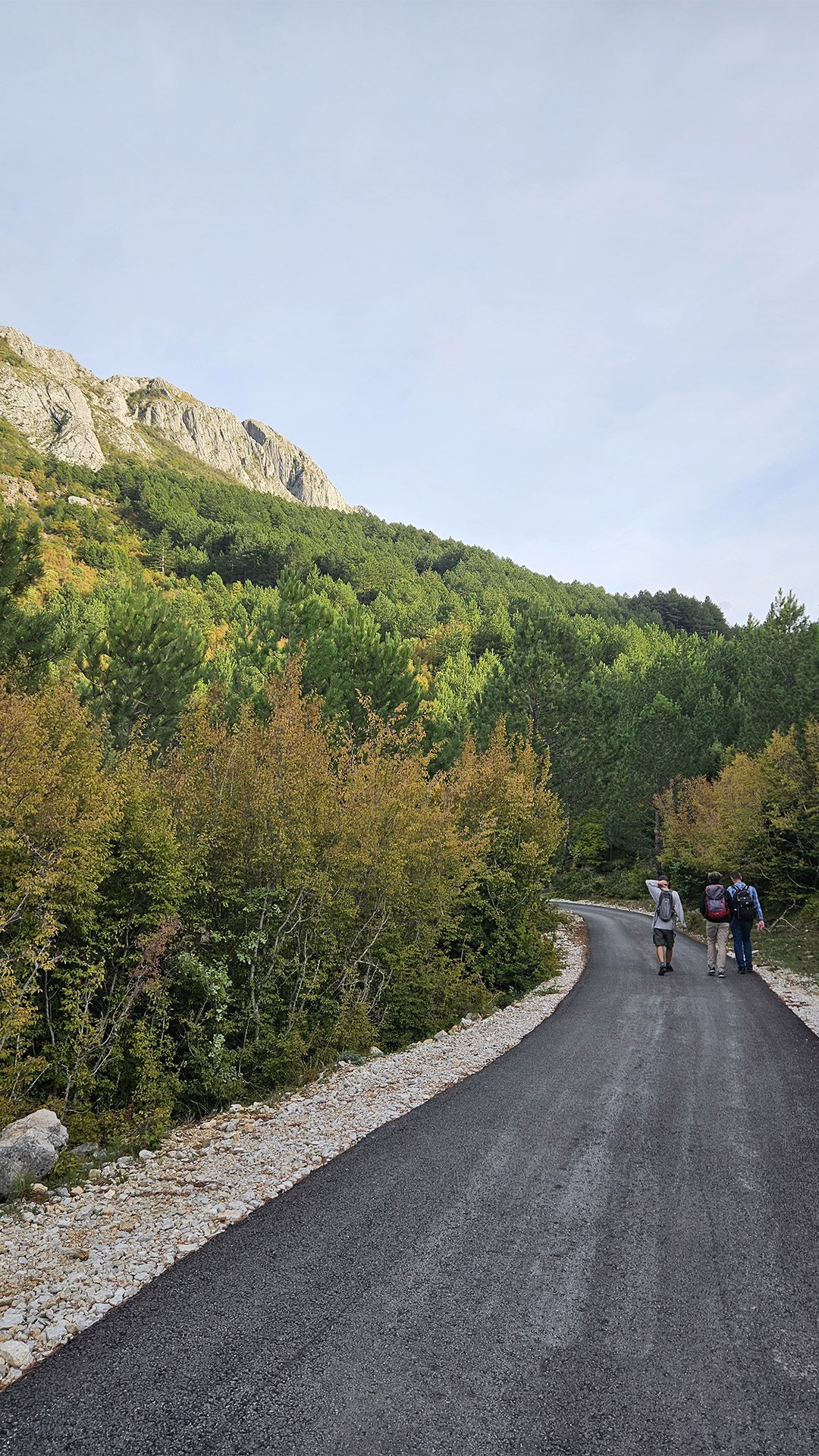
The group was small this time, just five people. But the weather was wonderful, and we cheerfully and cheerfully covered the route. We hoped to find mushrooms. We found one. At the same time, a similarly small group of our friends was climbing Mount Rumija, and we met them right at the foot!
Overall, the hike was a success, as always! It left behind vivid, pleasant memories!
From Stari Bar to the Mountains: Gateway to the Balkans
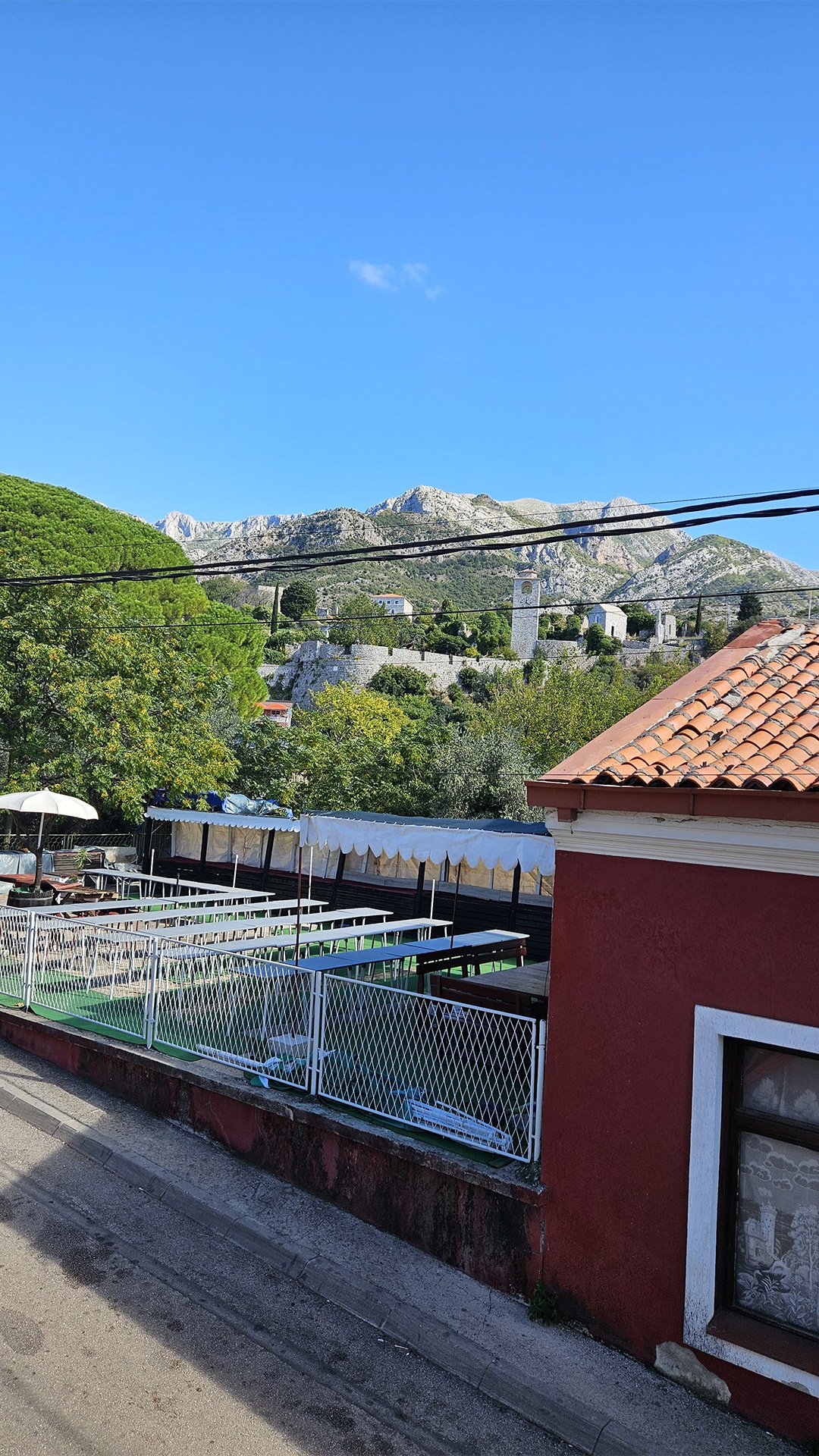
Stari Bar (Stari Bar) is a medieval fortified town at the foot of Mount Rumija. Here lies the largest archaeological complex of its kind in the Balkans (approximately 4.5 hectares), which for centuries controlled the passage between the Adriatic and the lake basin of Lake Skadar. The ruins of cathedrals, Venetian and Ottoman buildings, towers, and baths stand alongside a vibrant “minor” infrastructure—cafes, workshops, and shops. For a historian, this is a textbook “in stone”: the succession of Byzantine, Nemanjić, Venetian, and Ottoman empires is evident in the stonework of the walls and the coats of arms. Official descriptions emphasize the exceptional value of the Old Bar complex for the history of the region.
Slightly north of the walls is the Bar Aqueduct, the only surviving aqueduct in Montenegro. It was built by the Ottomans in the 16th and 17th centuries to supply water to the fortress from springs on the slopes of Rumija; it was restored after the 1979 earthquake. The stone arches (seventeen spans on eighteen piers) are a spectacular “warm-up” for the eyes before the mountains.


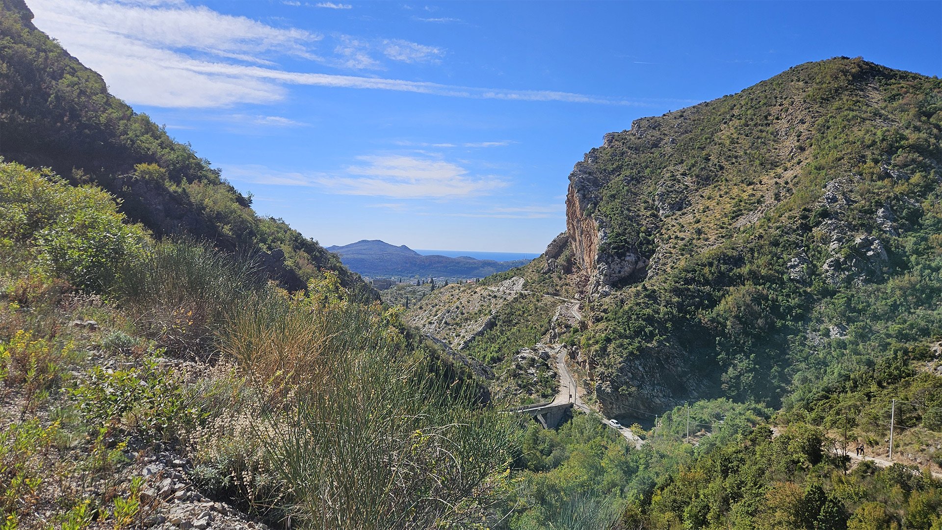
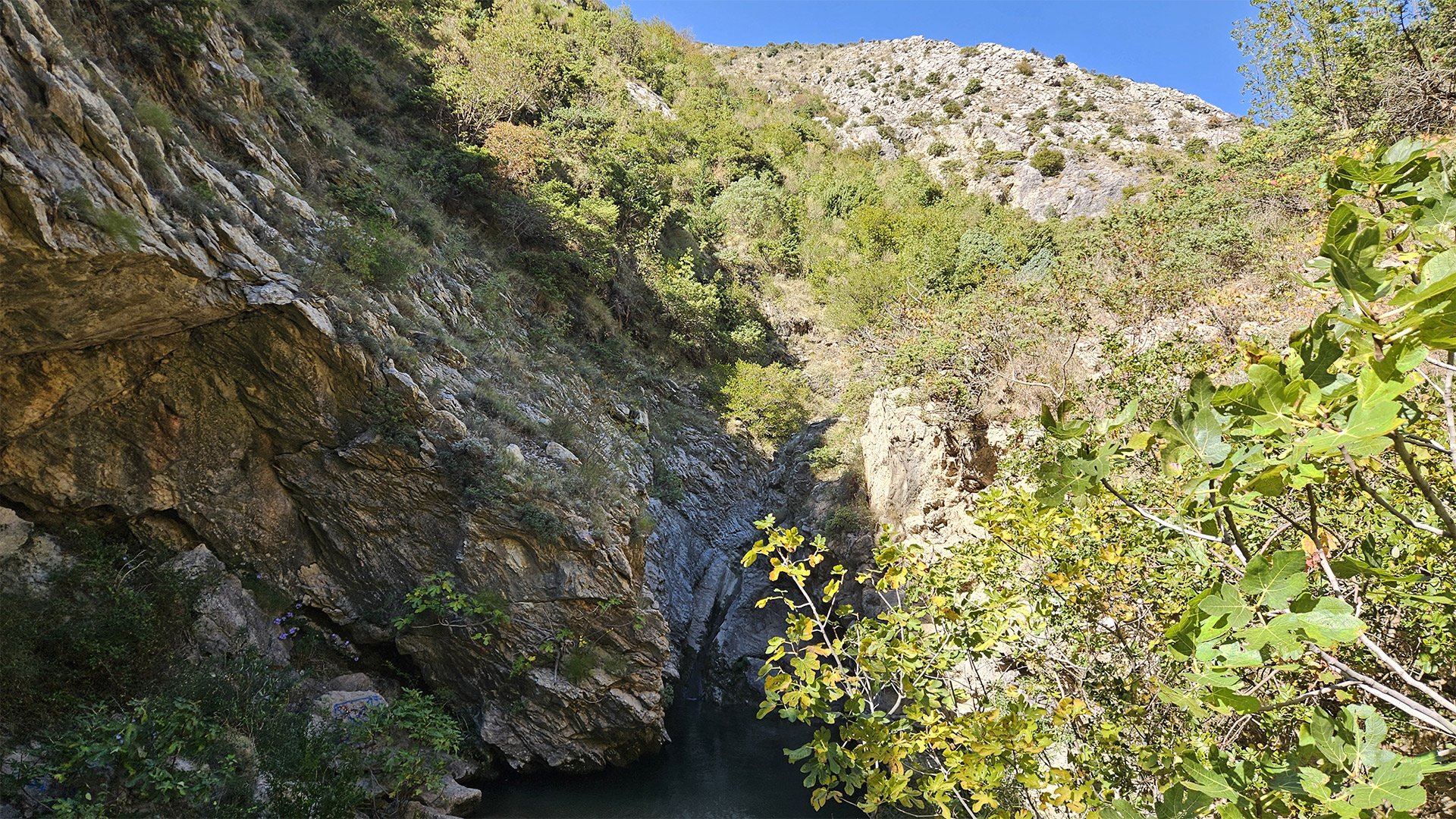
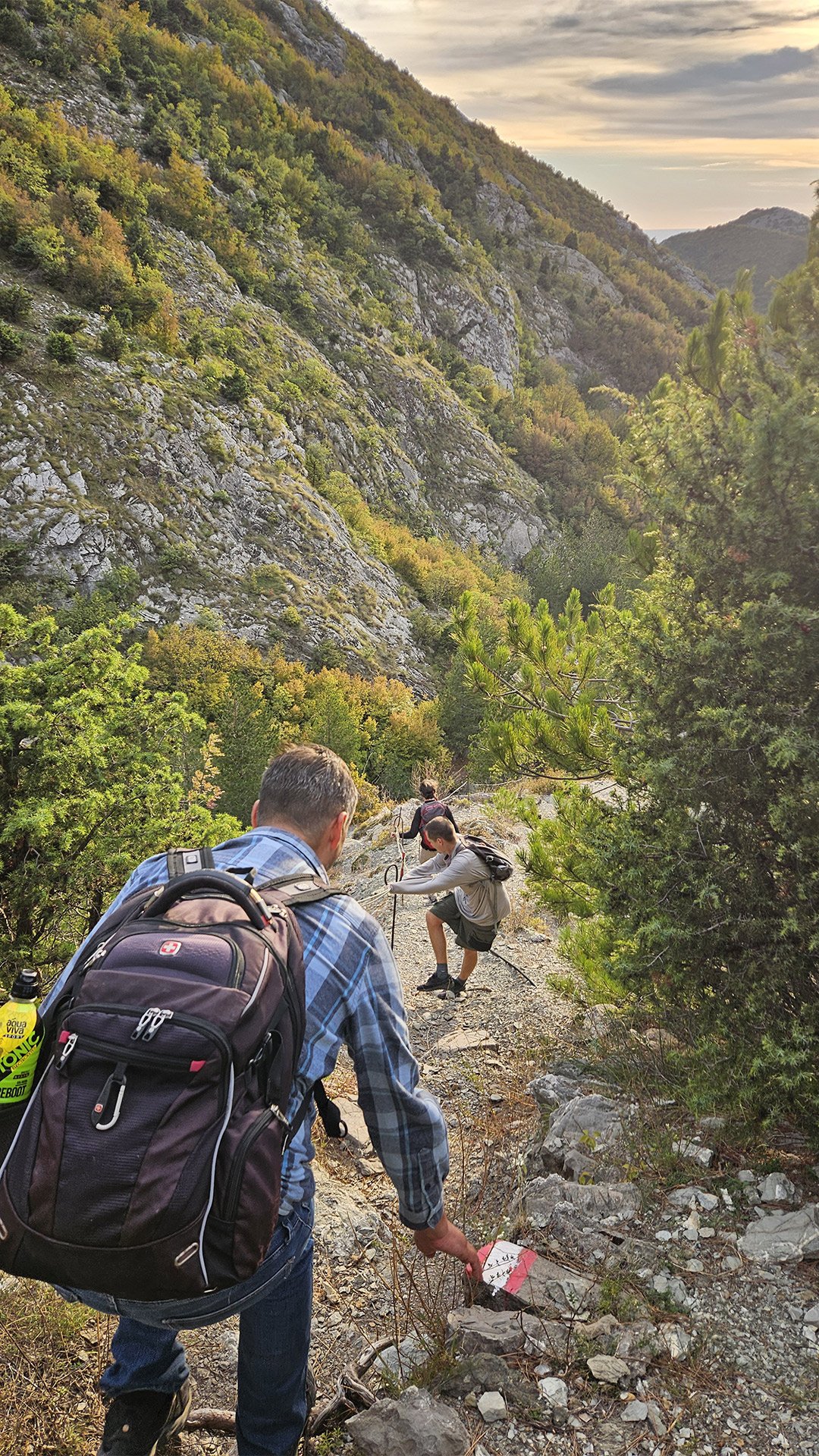
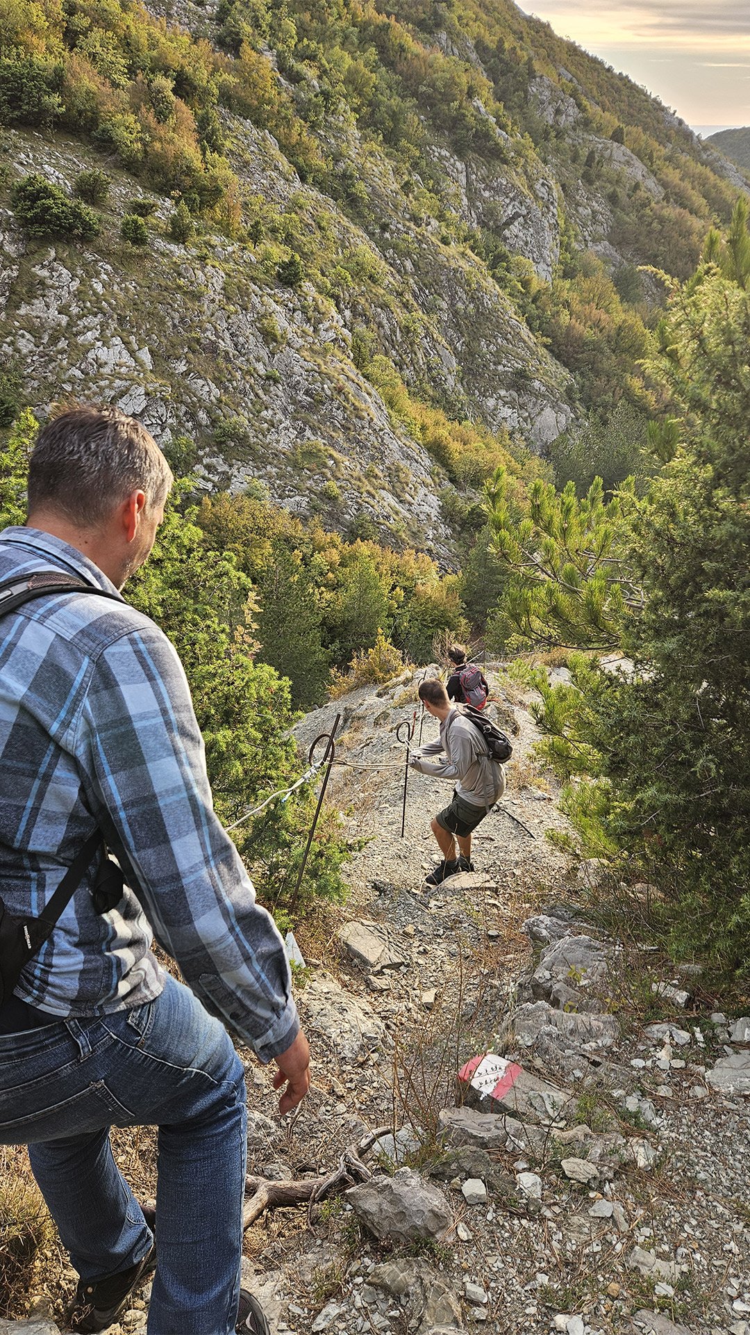
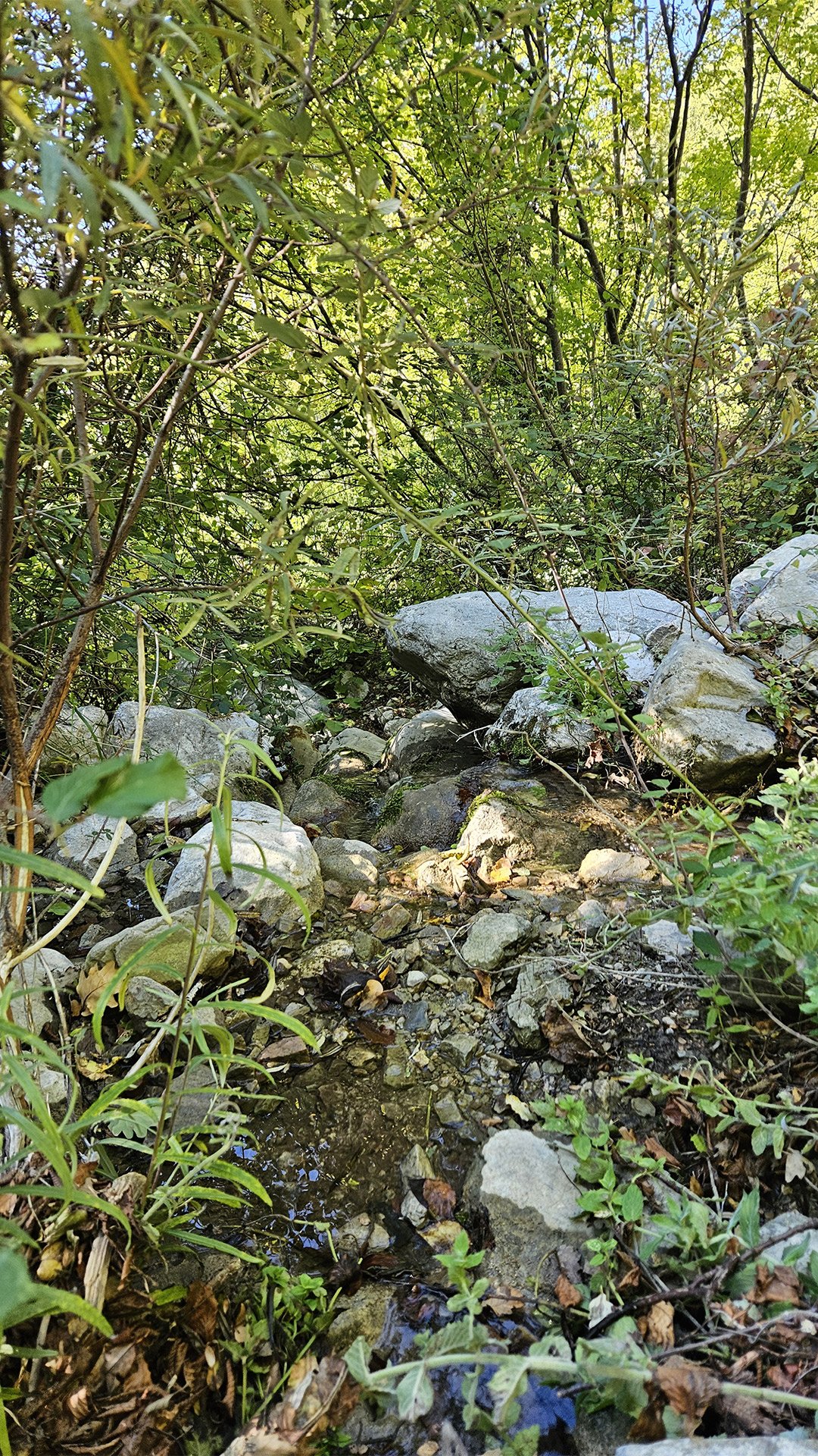
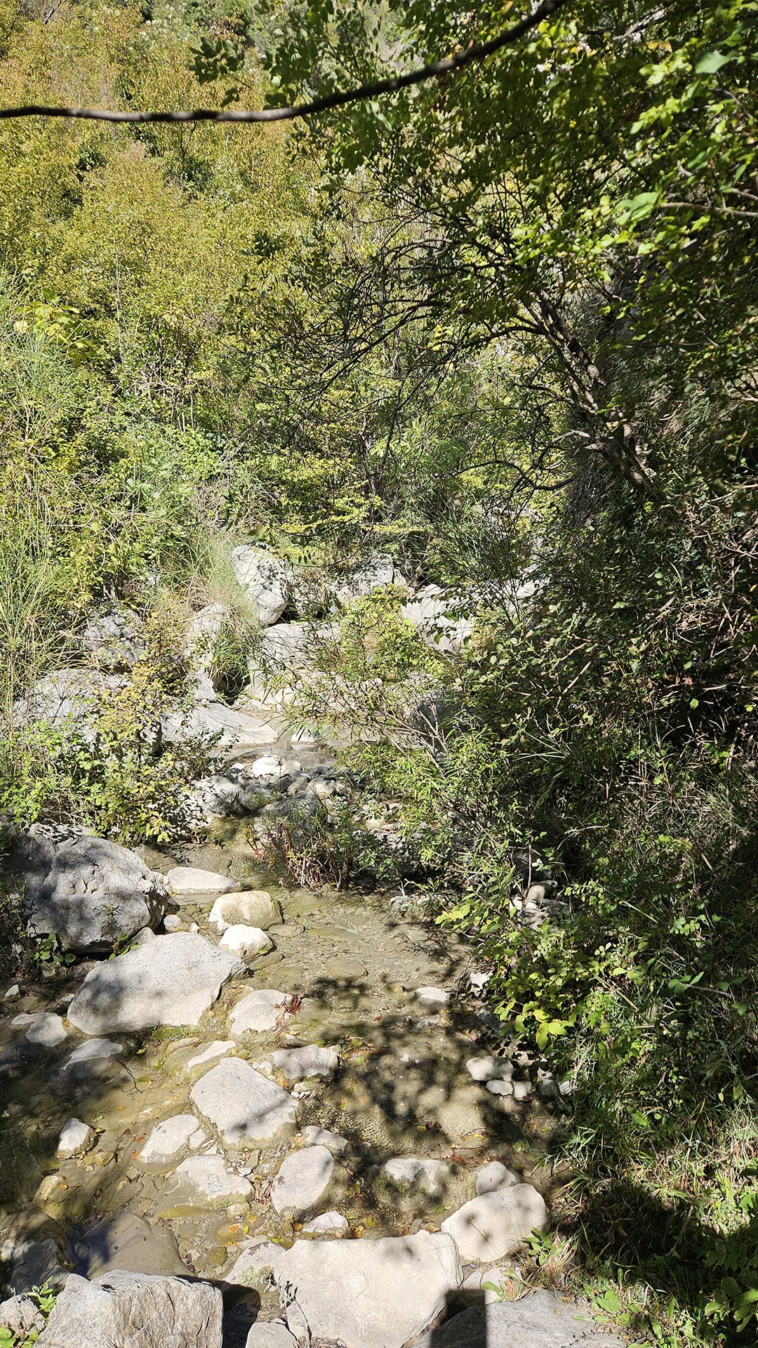
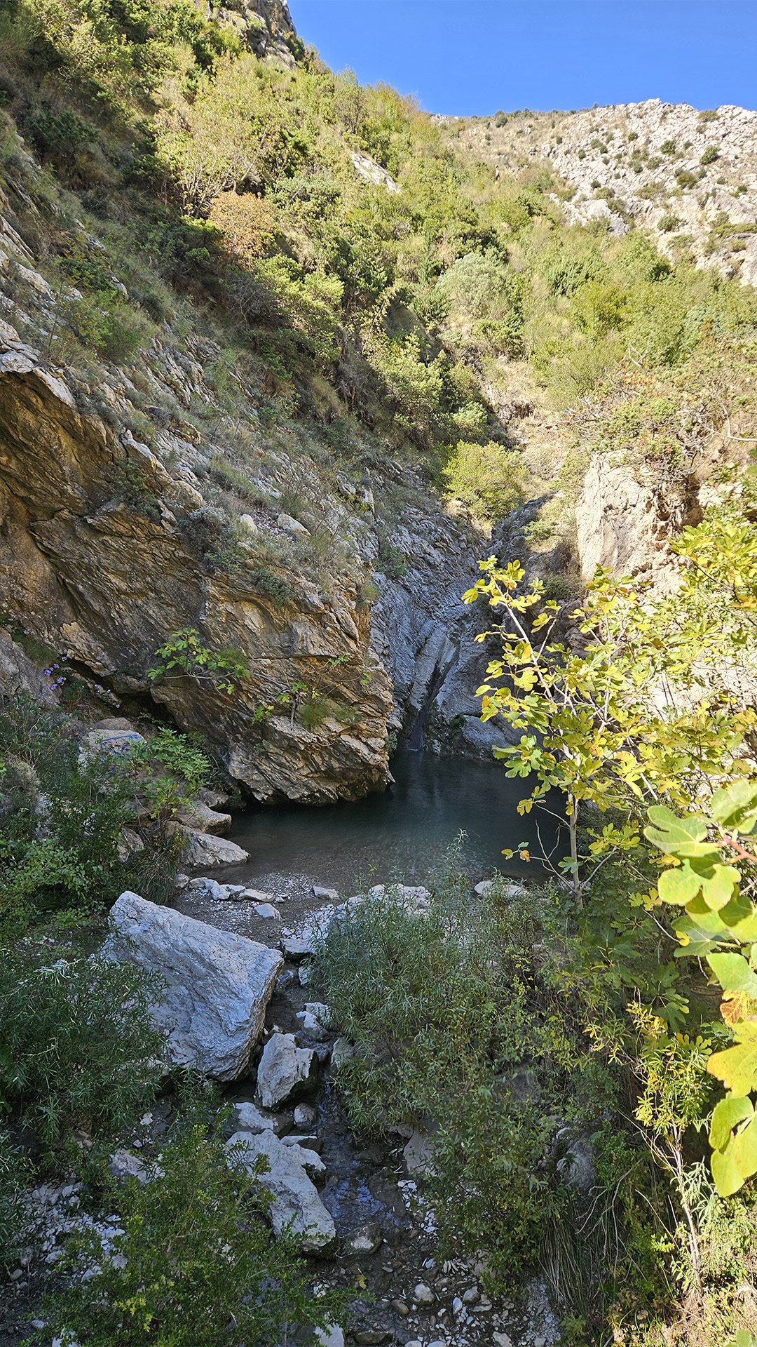
Rikavac: Canyon, Sound of Water, and Ropes
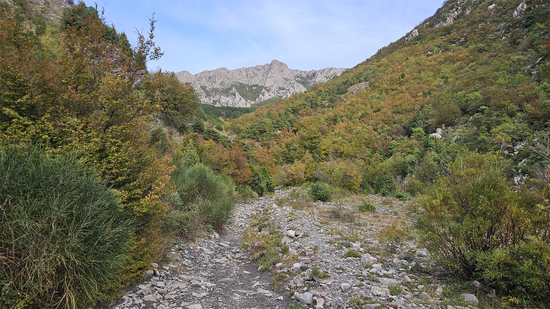
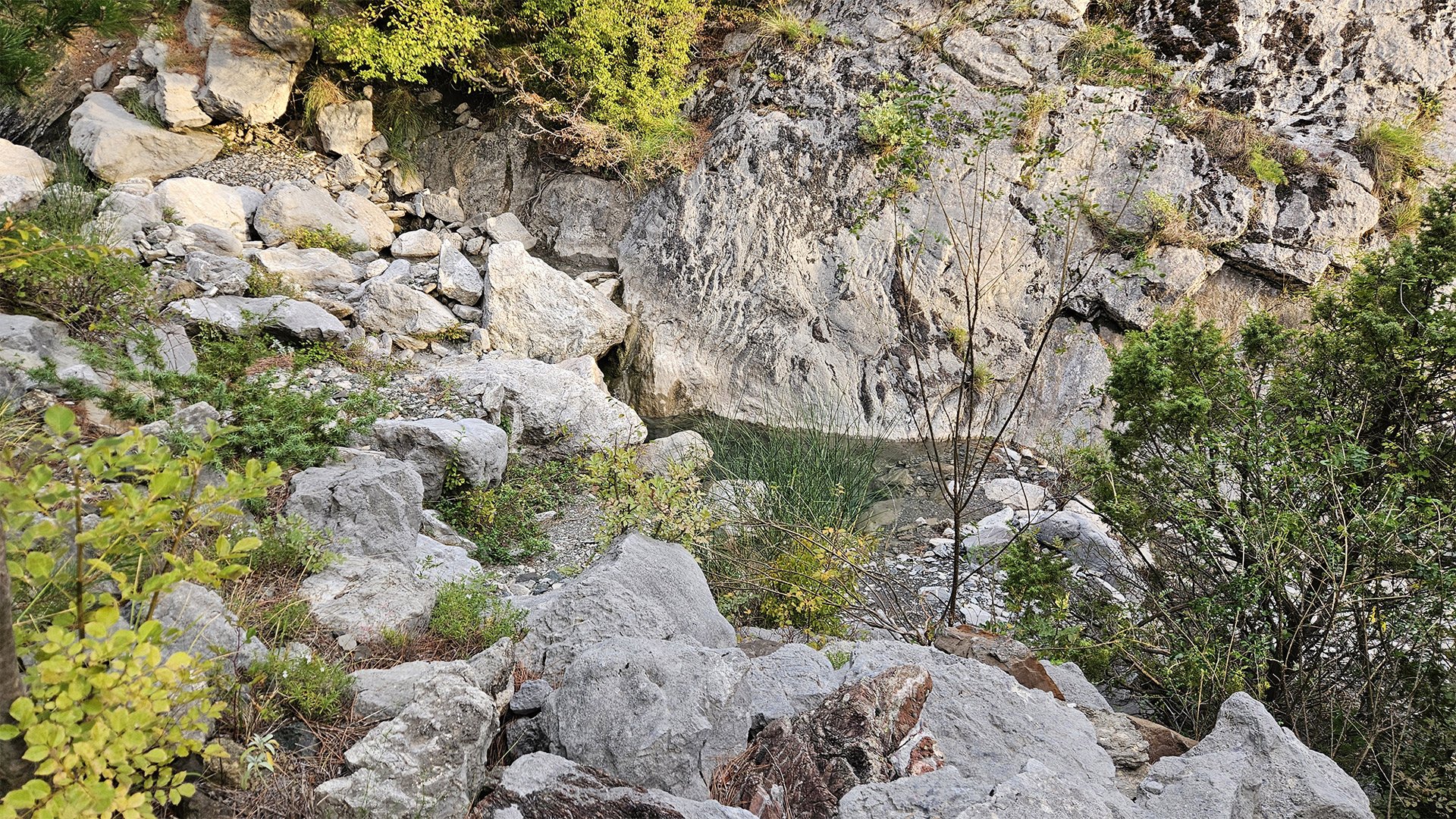
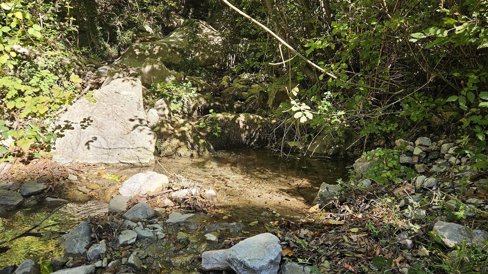
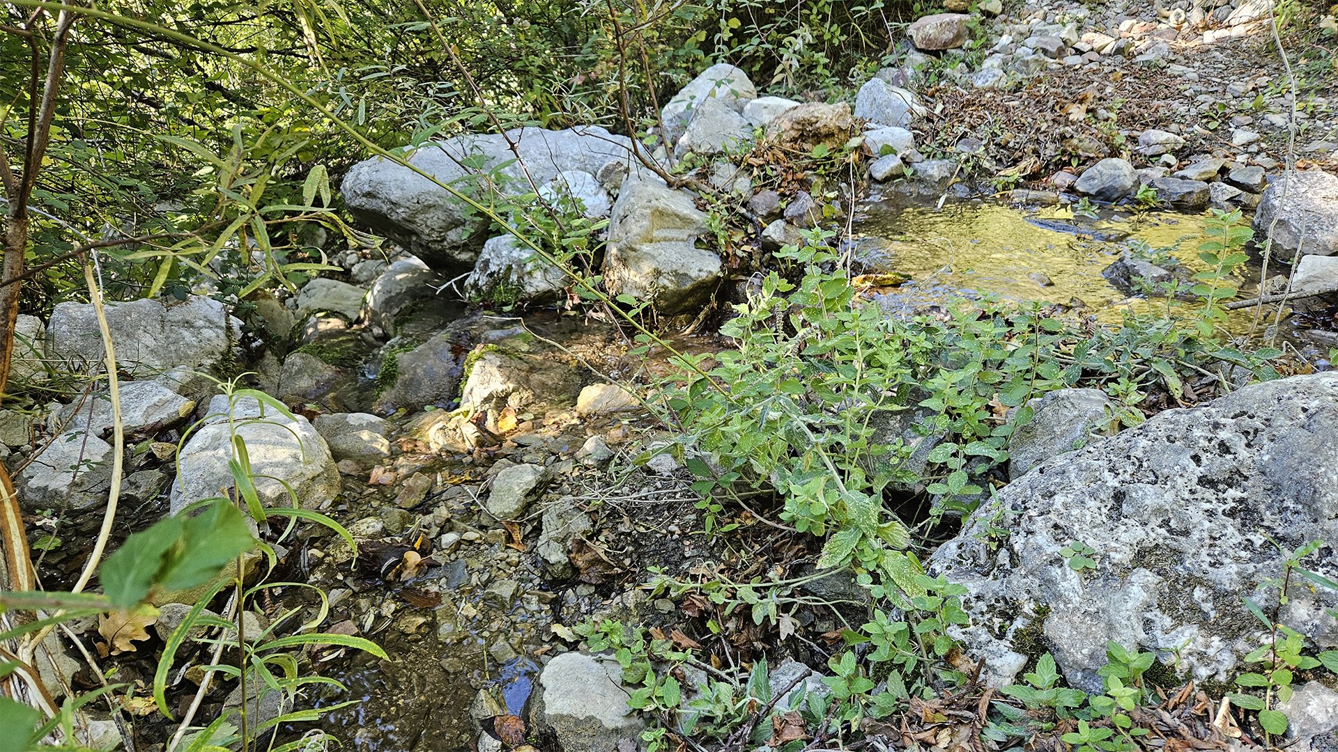
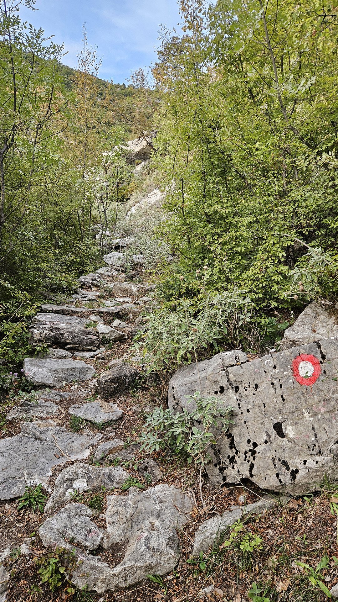
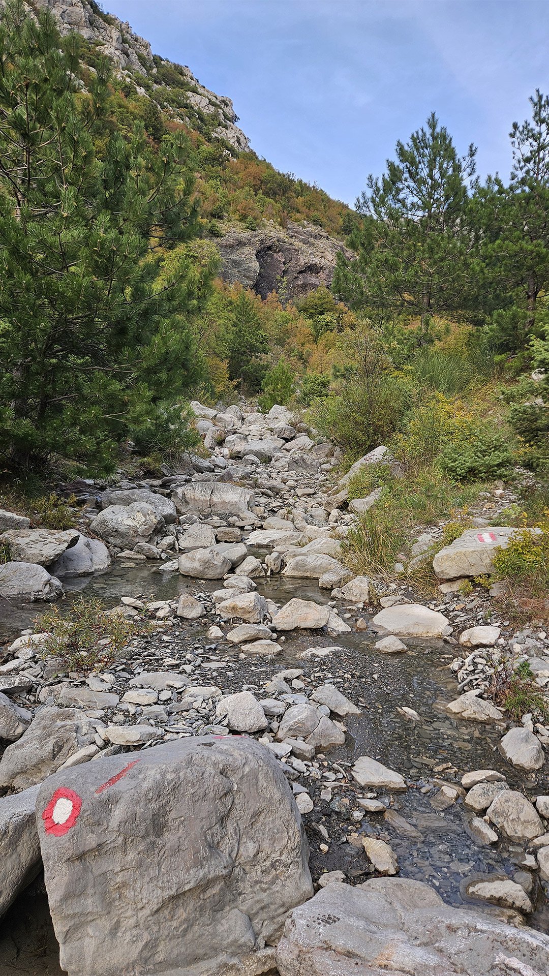
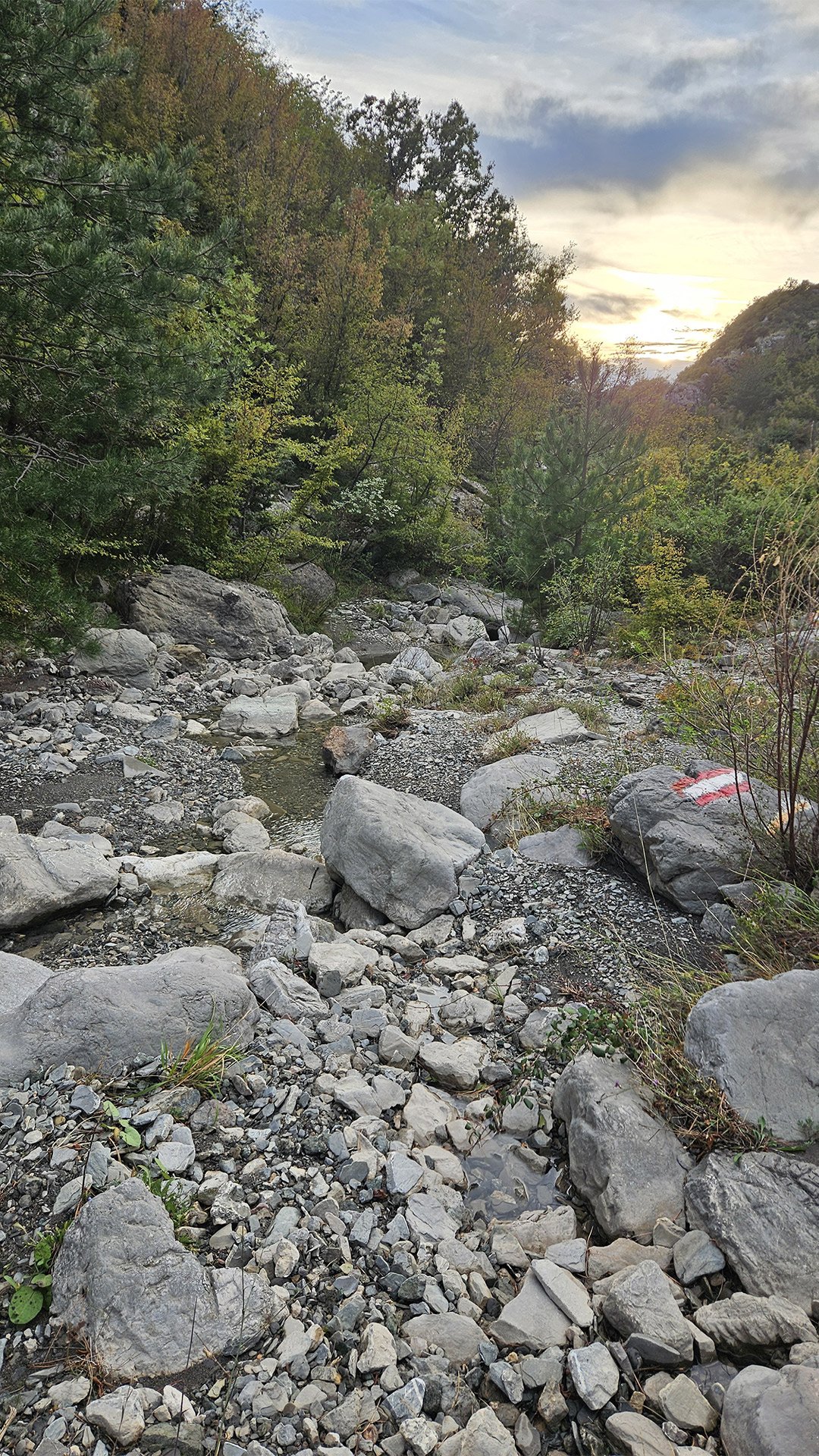
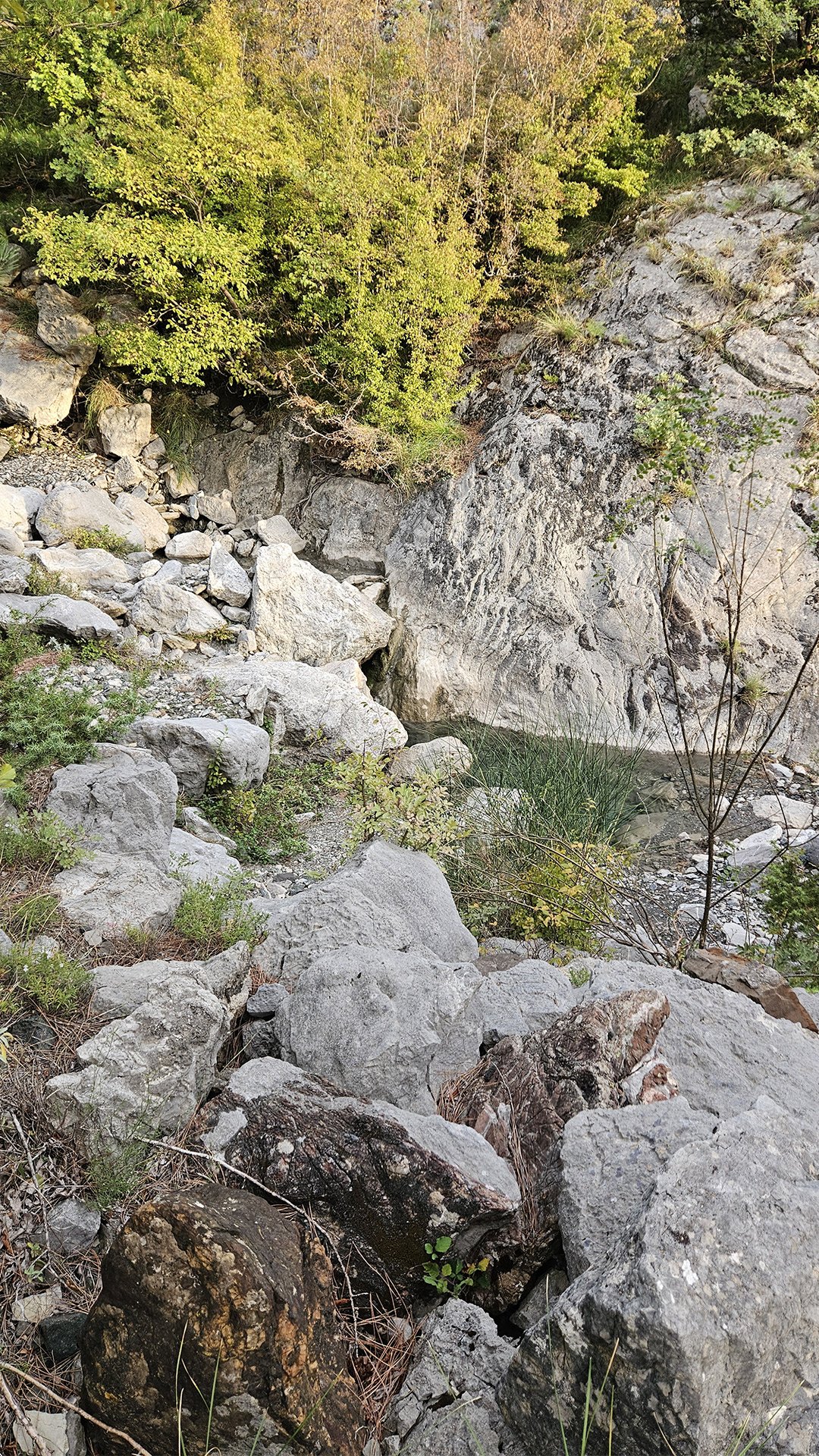
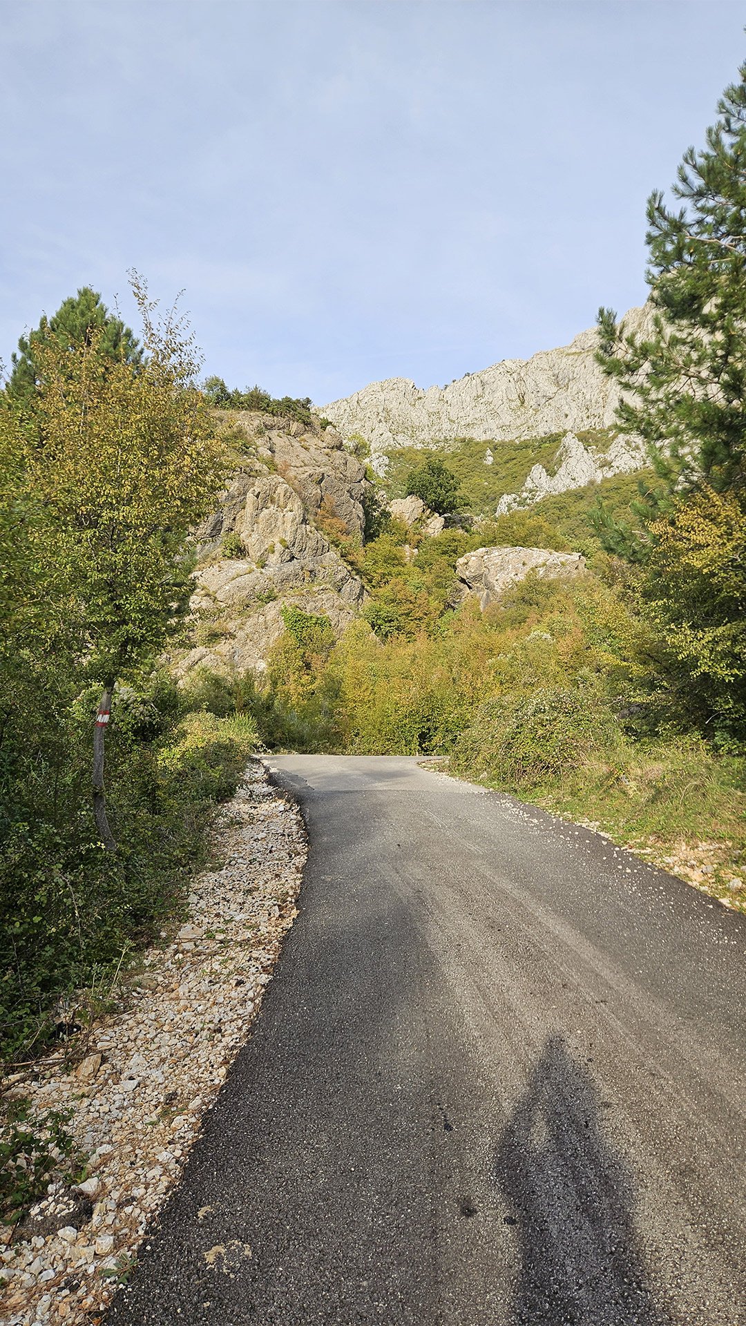
From Stari Bar, the trail climbs to the entrance of Rikavac Canyon. Even if you don’t undertake the full technical hike with a guide, the landscape is impressive: gorges, cascades, pools polished by water, and short drops. Commercial route descriptions note that this canyon is “easy” according to the local classification, suitable for beginners and families (jumps, slides, a few rappels), and the start of its mouth is a few minutes’ drive from Bar/Stari Bar.
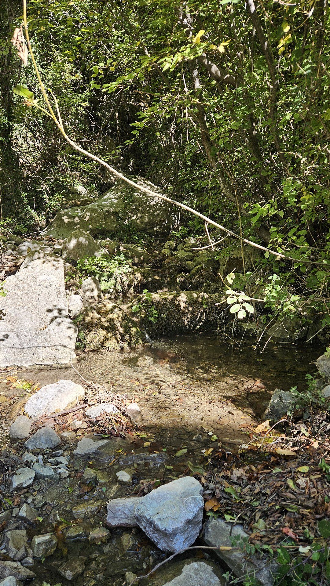
Menke Old Bridge and Waterfall
Next, to the rock massif and the Menke Old Bridge. This is a small, old stone crossing near the climbing area and the waterfall; In local guidebooks, it is the first kilometer of many trails and races starting at the walls of Stari Bar that leads to it. The local press directly mentions “Menke Bridge and the waterfall next to it” as a landmark in the mountain belt above the city; a section of the Rumija SkyRunning trail is also dedicated to it, where the road “on cobblestones through the heart of Stari Bar” leads to Menke Bridge near the climbing area.
Interesting fact: The tradition of mountain races in Bar is actively growing: vertical and sky races unite runners and tourists on the same trails, and almost all of them are “linked” to historical landmarks—the walls of Stari Bar, Menke Bridge, and springs.
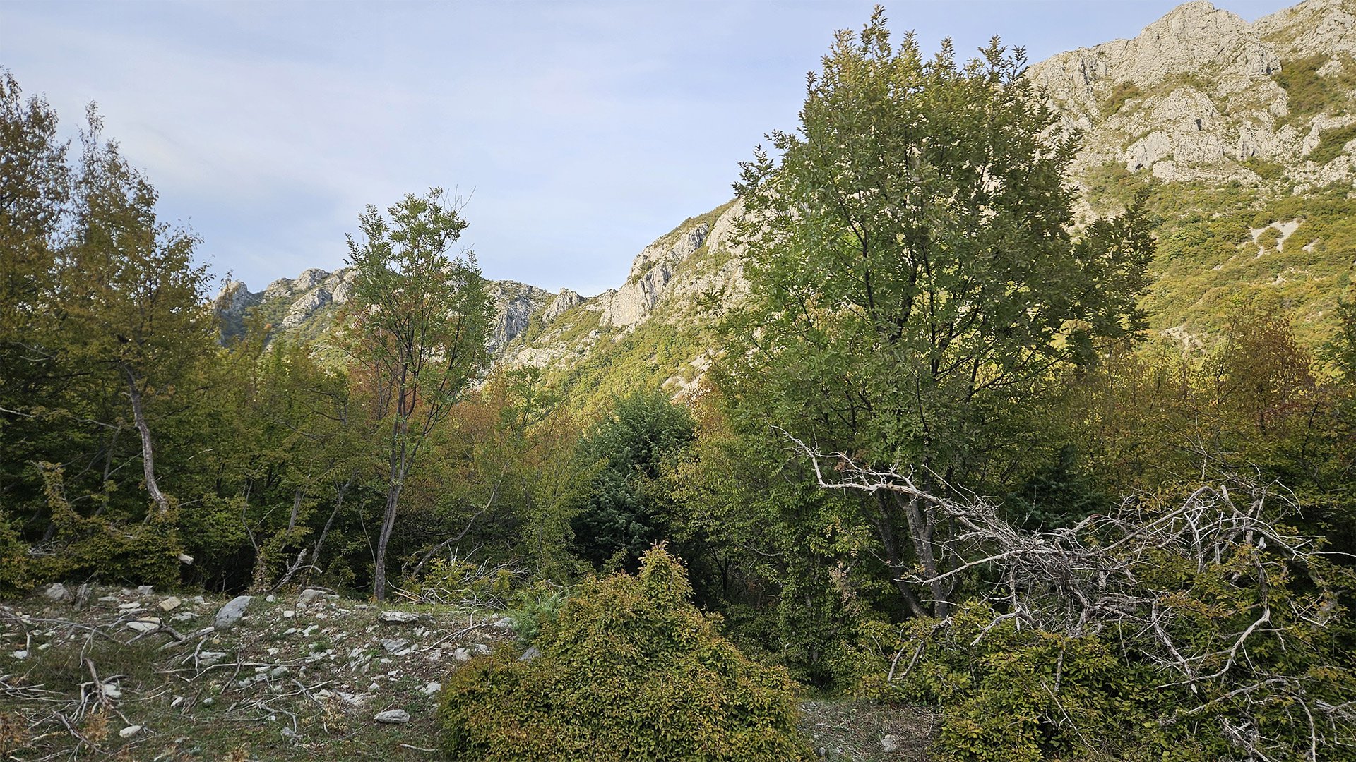
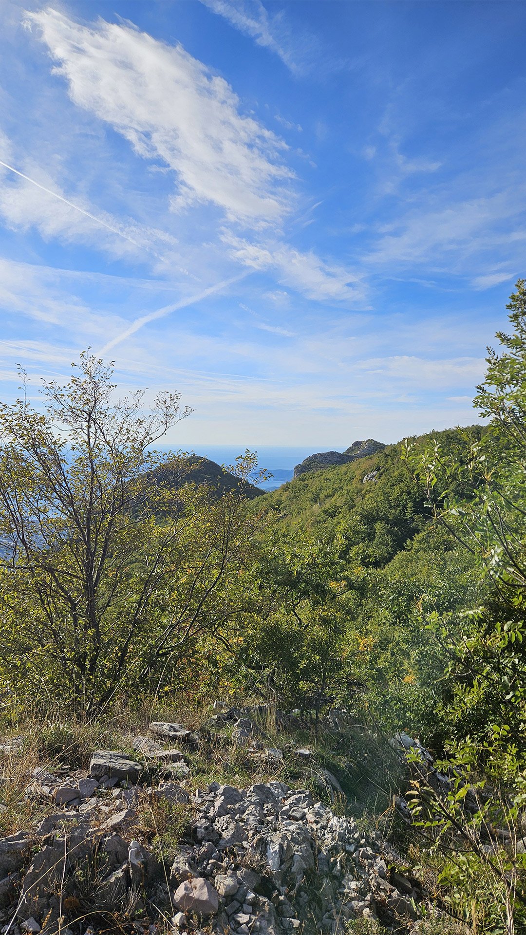
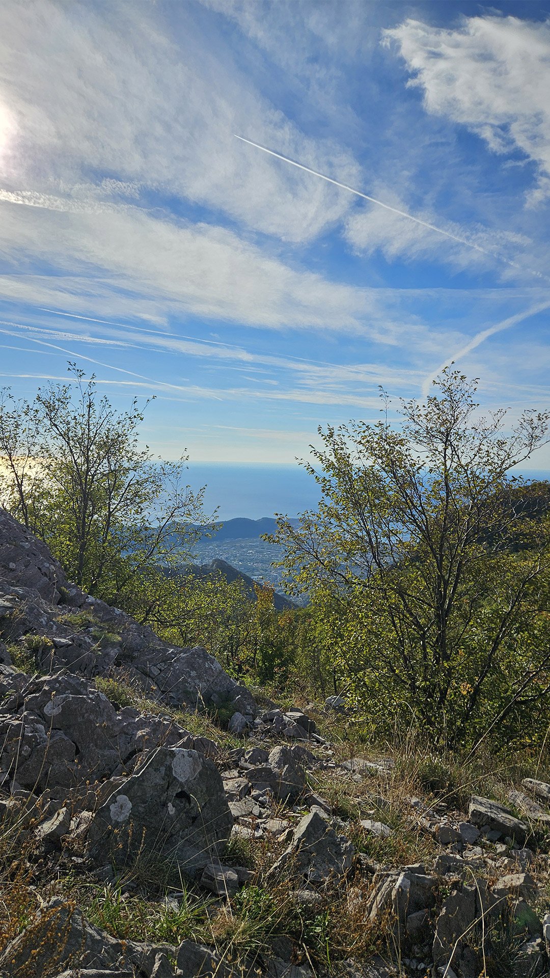
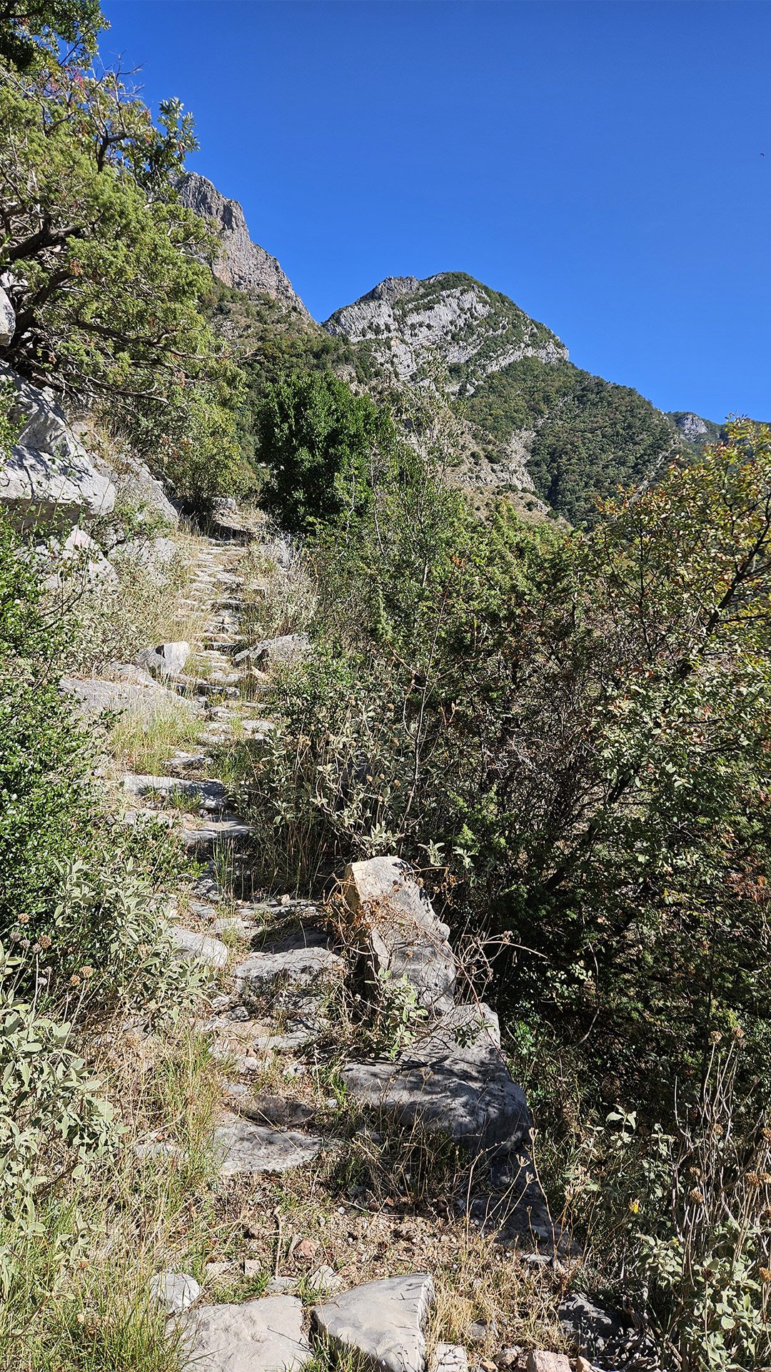
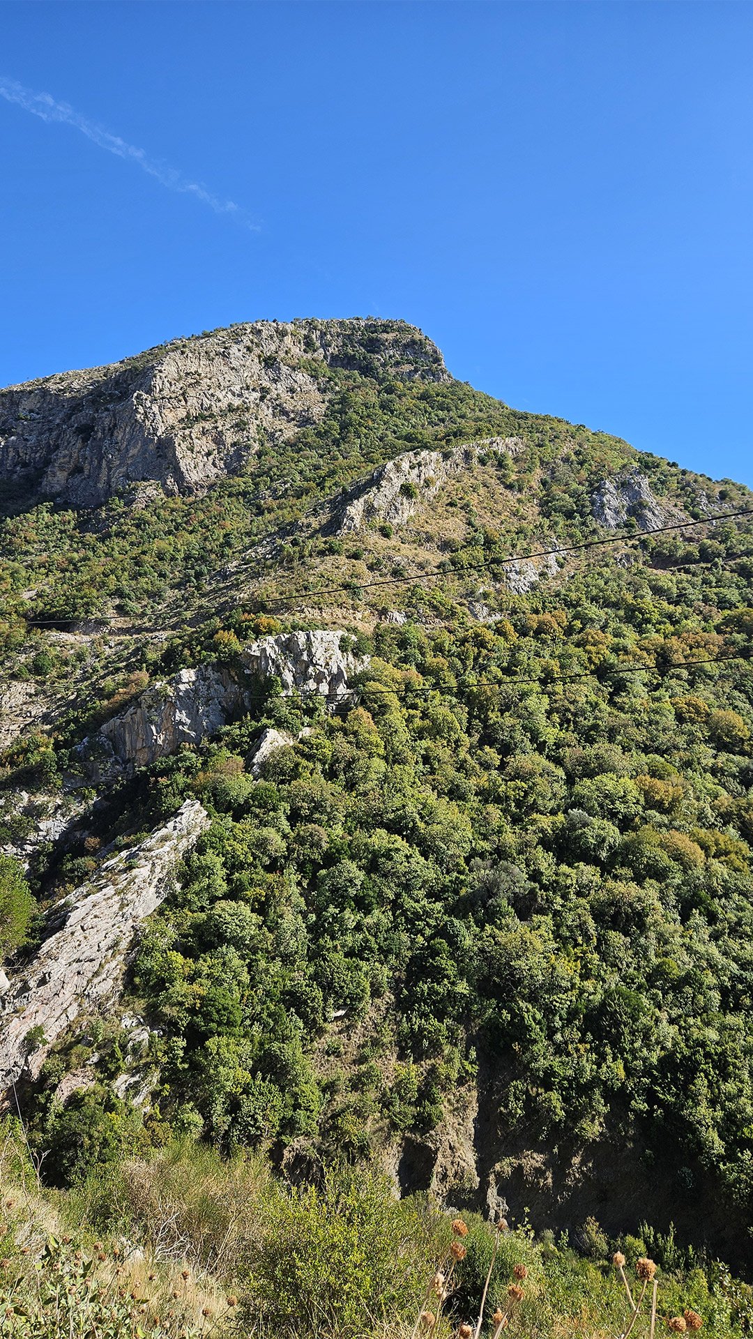
Mount Trolj: An Intermediate Ridge
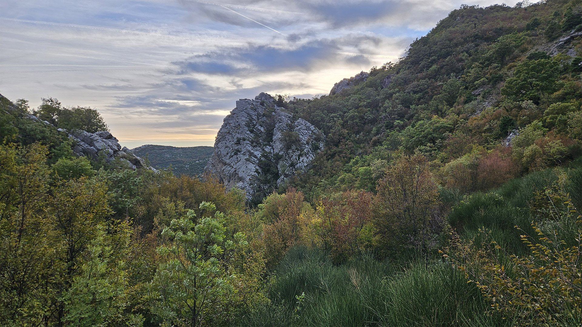
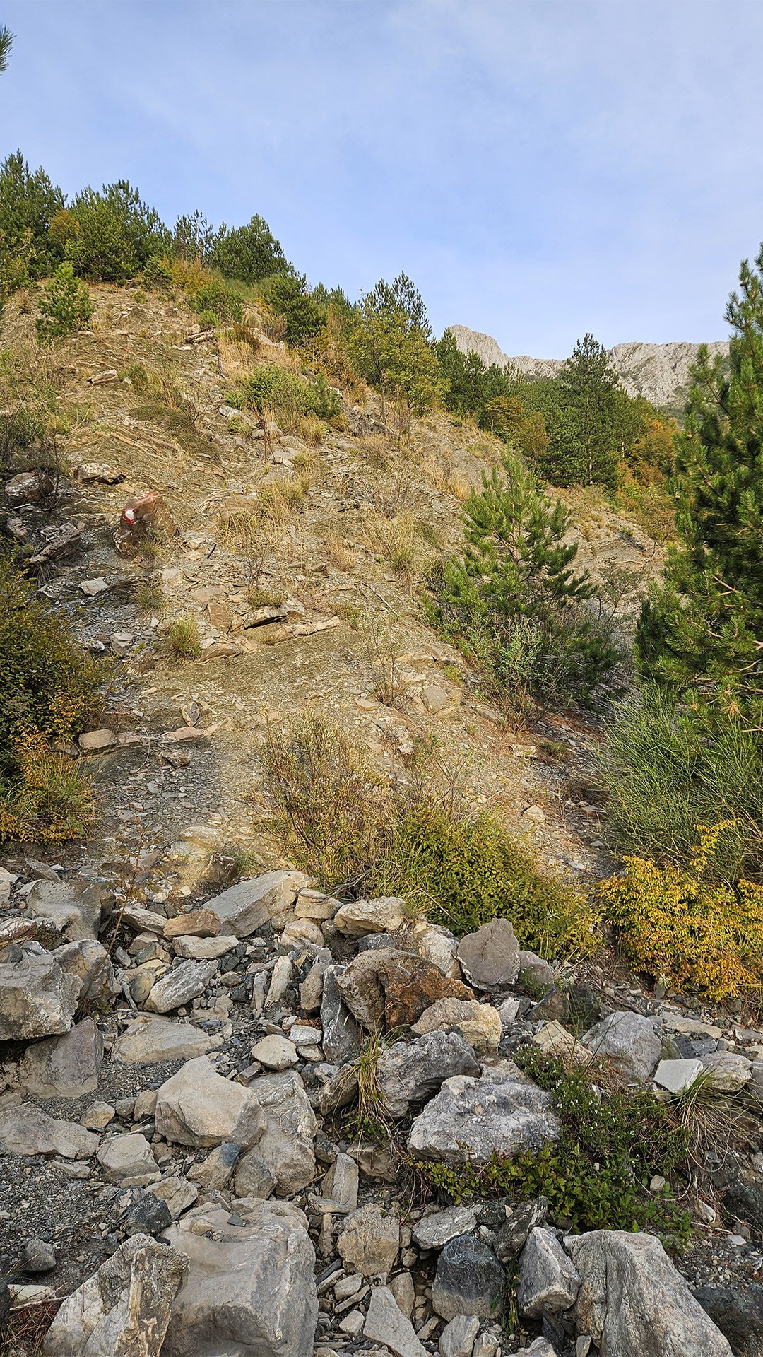
Beyond the waterfall, the trail climbs unnamed terraces and emerges at Trolj/Trolj, a local toponym on the southern spurs of Rumija above Bar. This is not a “standalone classic peak,” but a ridge and plateau with views of the Adriatic; its coordinates are provided as geotags by local mapping services. It’s a great place to catch your breath, look back at the fortress walls, and listen to the sea breeze.
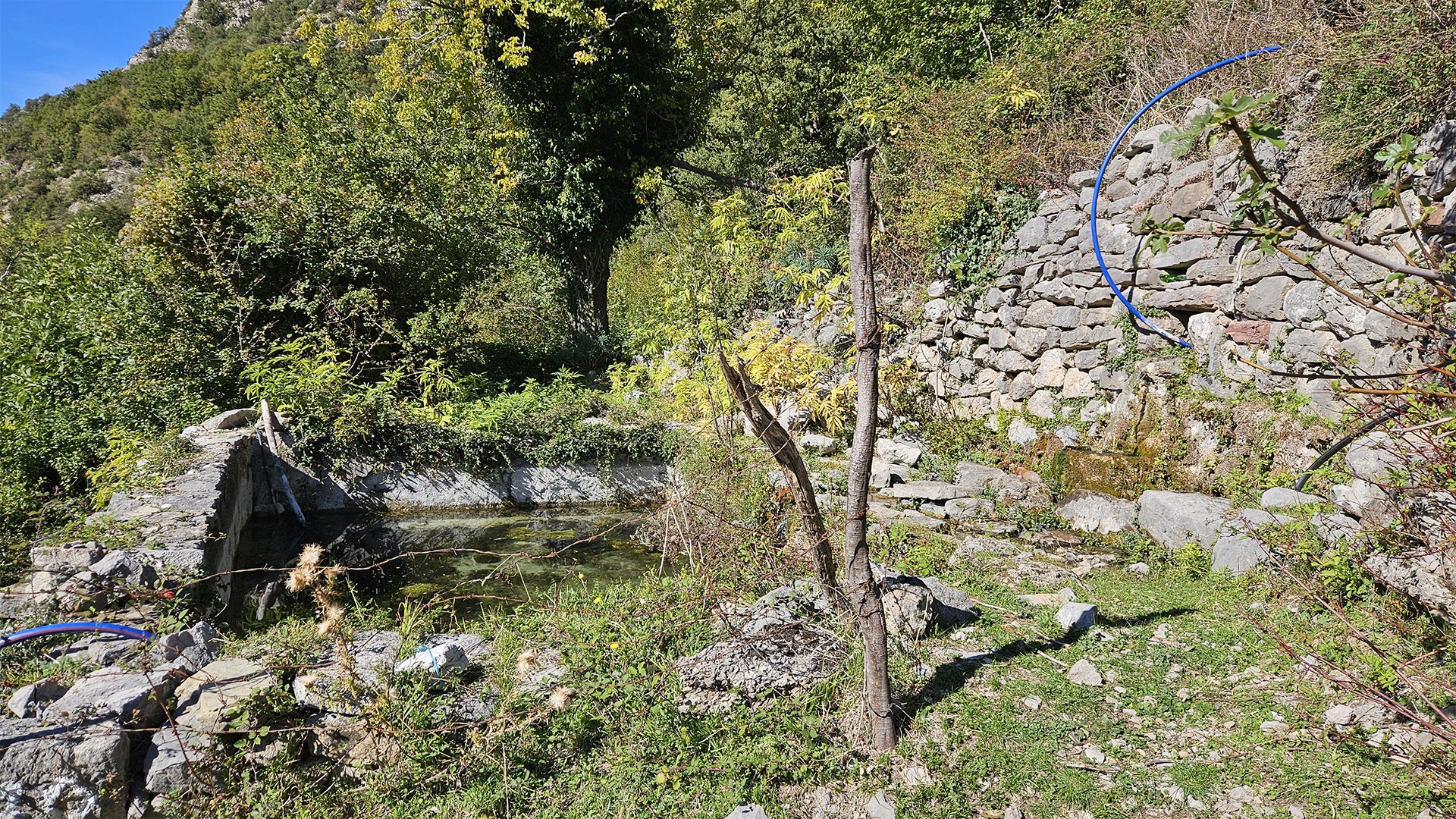
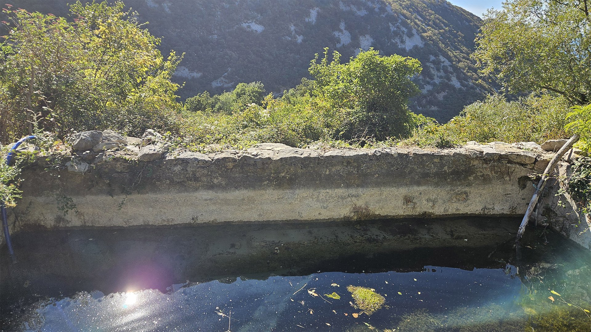
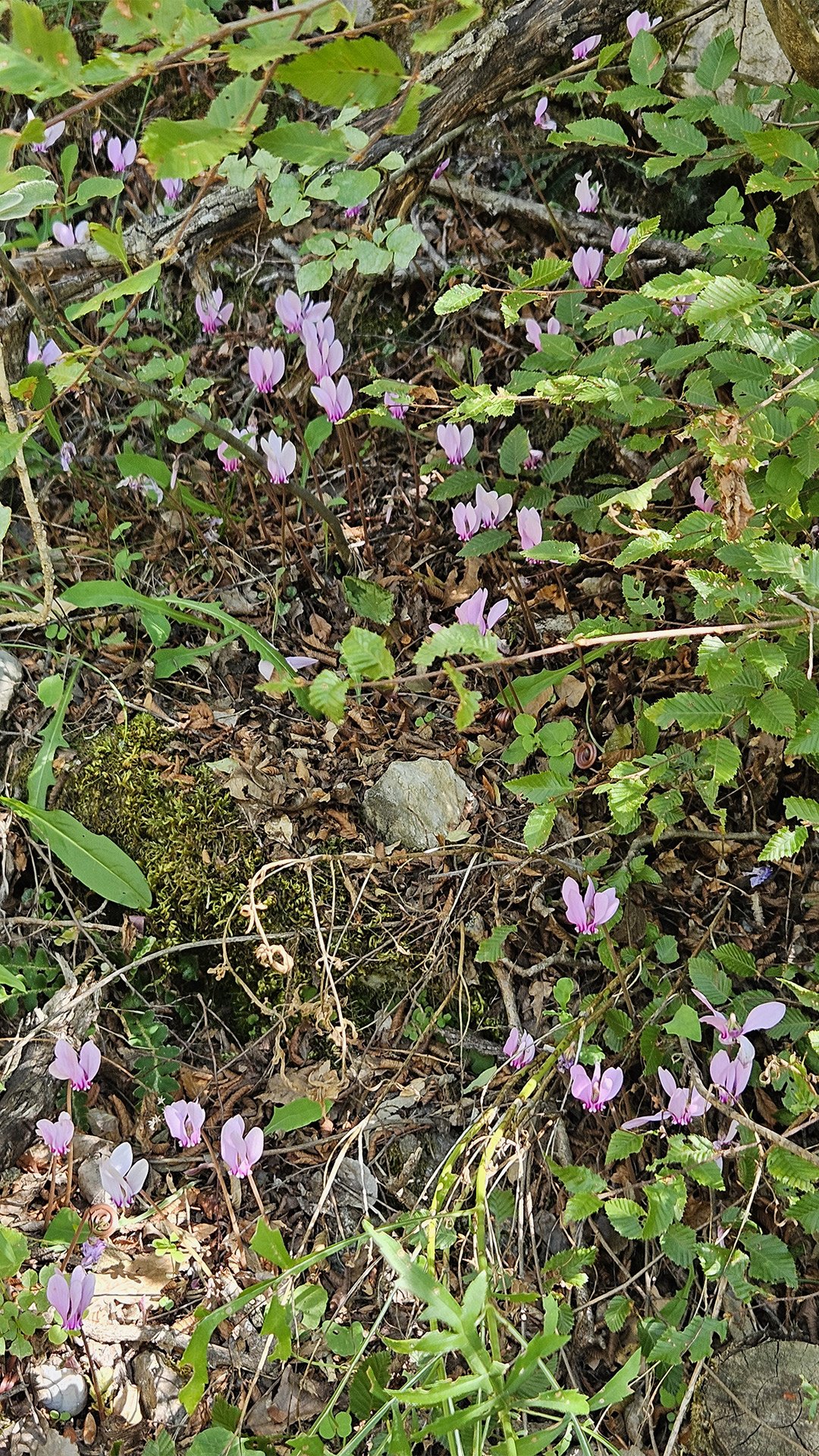
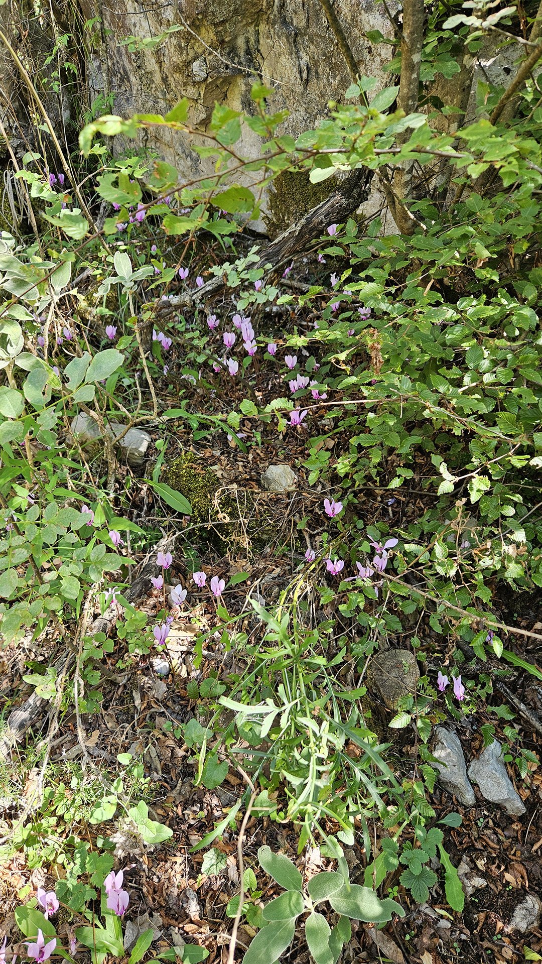
Ljumetići Farm: Water, Cats, and Bread
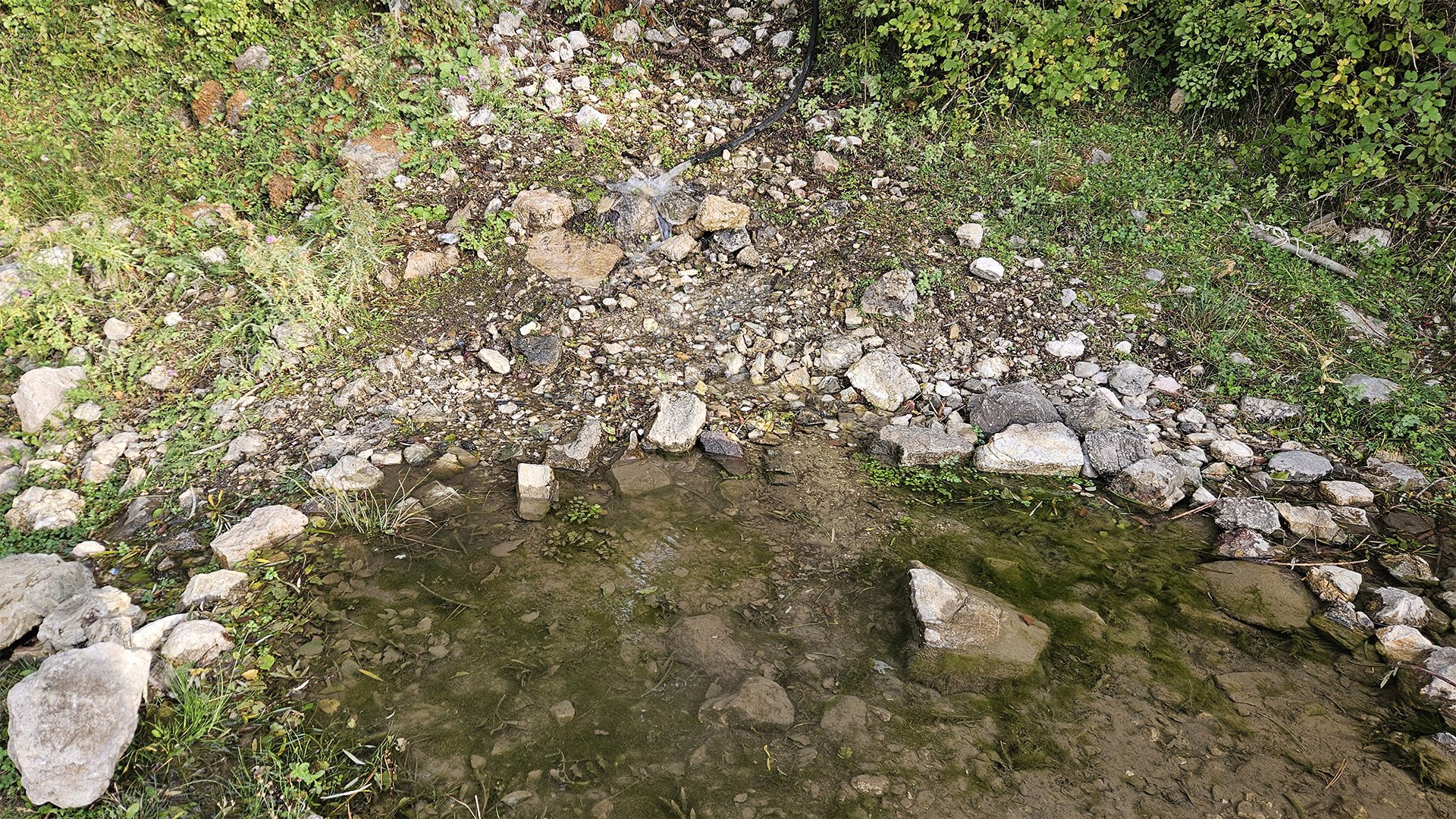
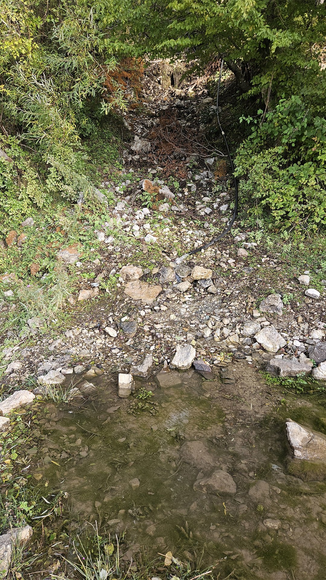
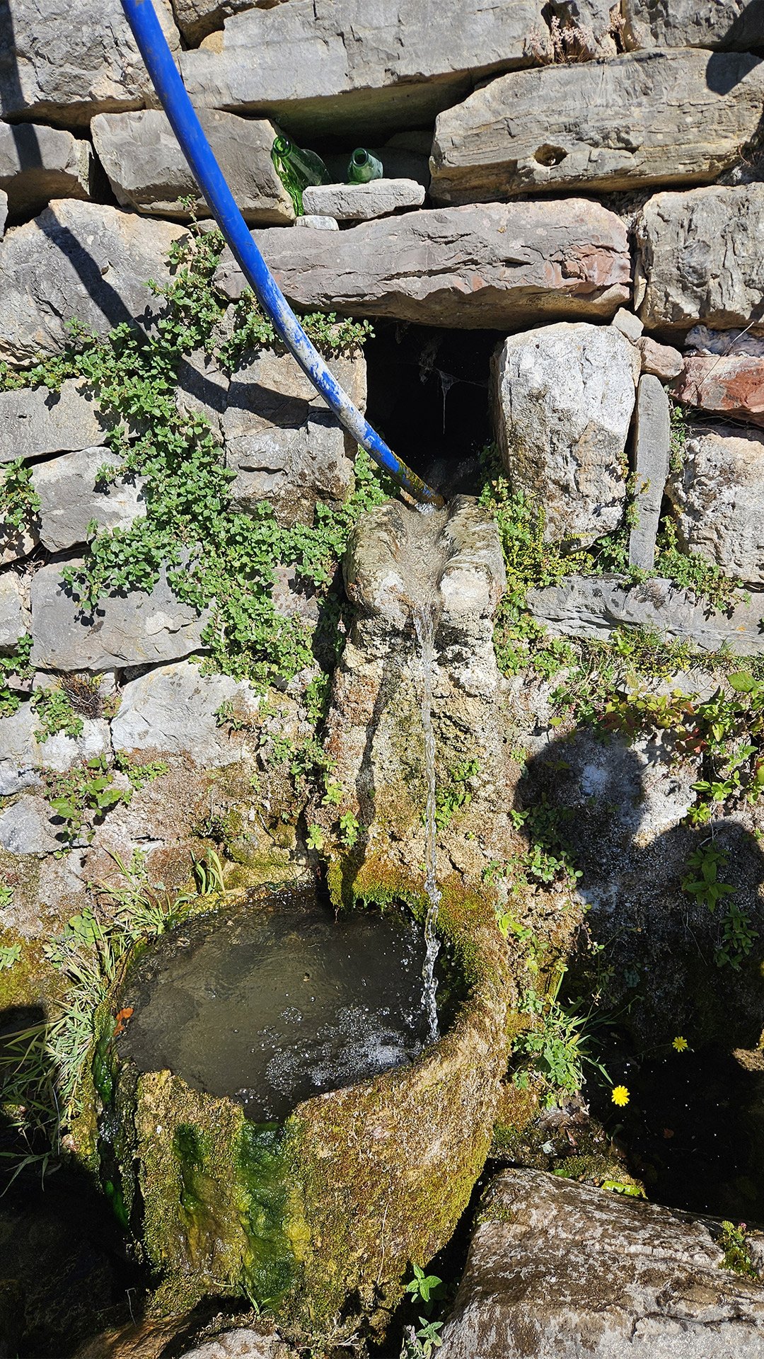
The trails lead to the rural area of Ljumetići/Ljumetići—traditional pastures and farmsteads on the way to Dobri Do/Mikulići. For hikers, this spot is valuable as a source of water and a “piece of everyday life”: dogs in the yards, grapes and figs in the gardens, and smokehouses in the barns. The descriptions of mountain activities explicitly state: “At Menke, turn up towards Ljumetici (there’s water/spring there),” meaning this is a landmark for travelers with resources.

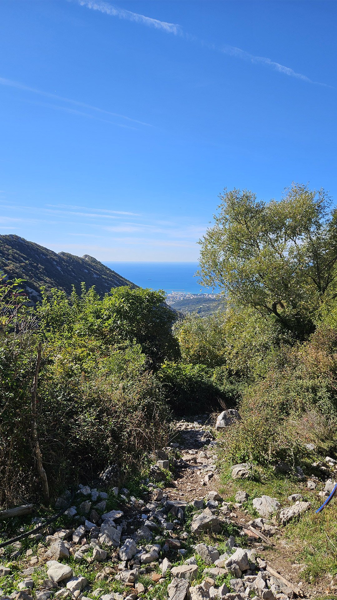
Trailhead zum Rumija: Dobri Do – the “gateway” to the summit
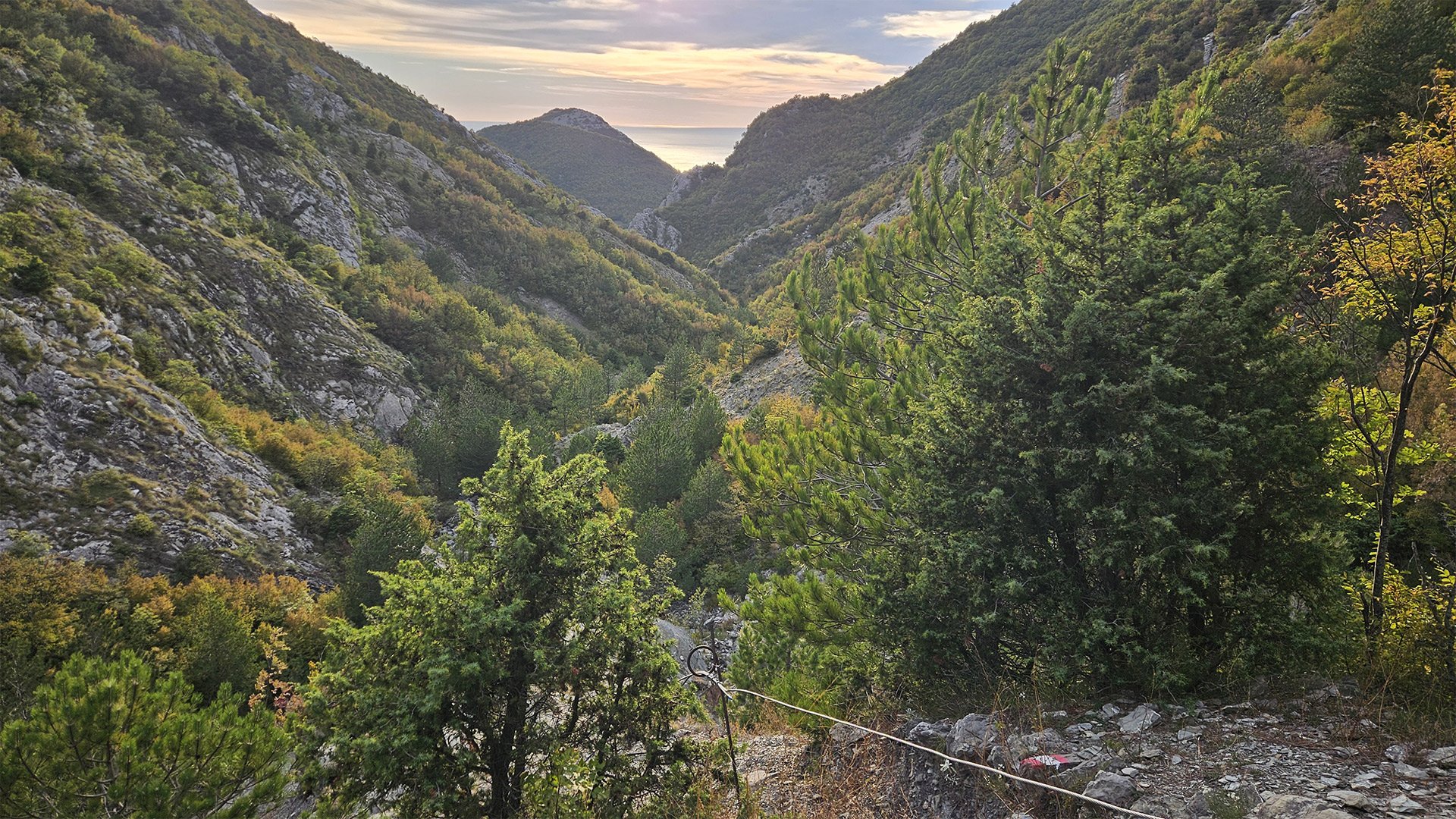
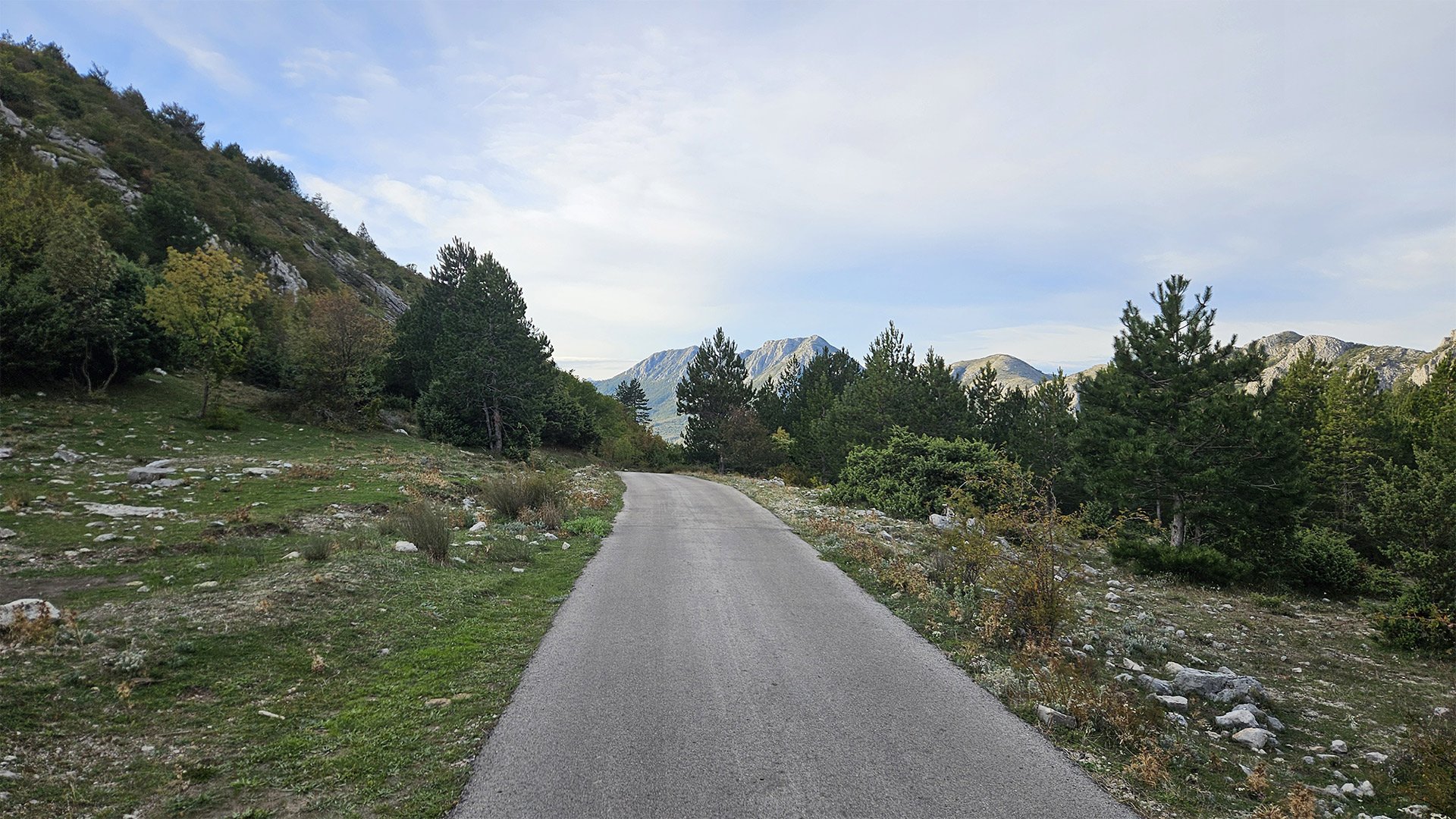
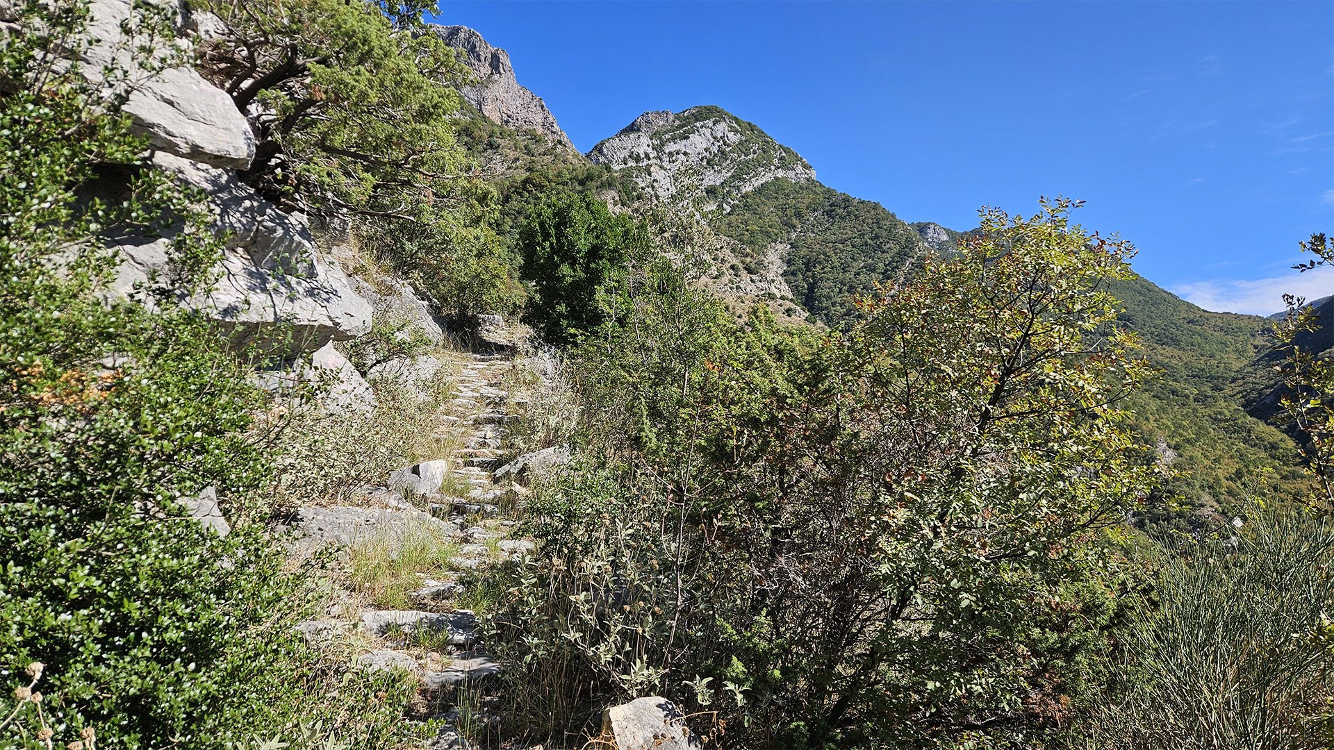
On signs and online maps, you’ll see the German designation “Trailhead zum Rumija” – the starting point of the main trail to the summit from Dobri Do above Mikulići. This is the most popular ascent to Rumija: short but steep (a gain of approximately 600–650 meters, almost head-on); a number of guidebooks and maps even call it the main route in the municipality of Bar.
Monastery of St. Sergius of Radonezh: a Russian monastery beneath the ridge
Just above Mikulići and the Dobri Do meadow is the convent of St. Sergius of Radonezh. The monastery belongs to the Metropolitanate of Montenegro and the Littoral, but its inhabitants are Russian. The monastery is open to pilgrims, and on holidays, a metropolitan serves here—it is an important spiritual center for the Bar community. Photos and coordinates of the monastery are published in open sources; reports emphasize its role in the traditional night processions to the summit on Trinity Sunday.
An interesting fact: The nocturnal litiya on Trinity Sunday unites Orthodox, Catholics, and Muslims—participants climb together to the summit of Rumija. This interfaith nature of the pilgrimage is rare in the Balkans and a very warm tradition.
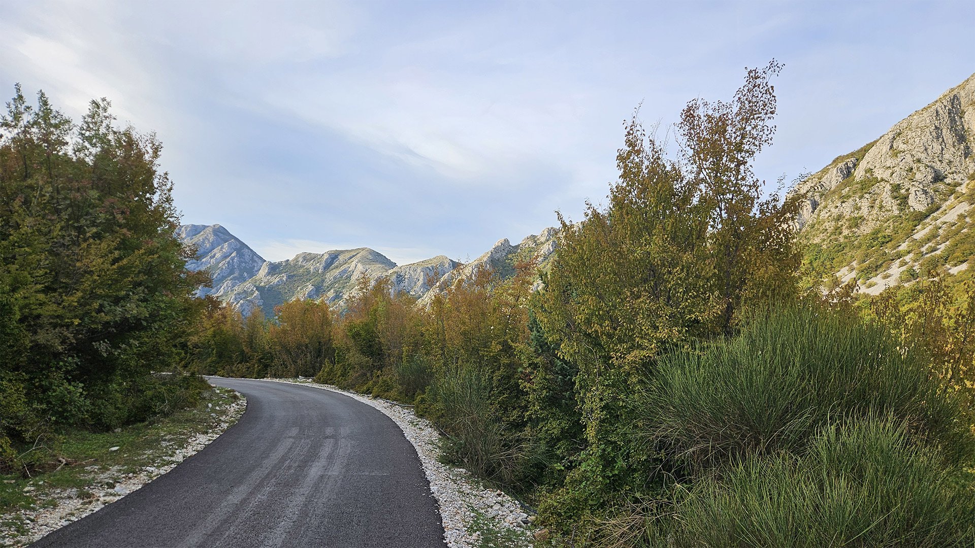
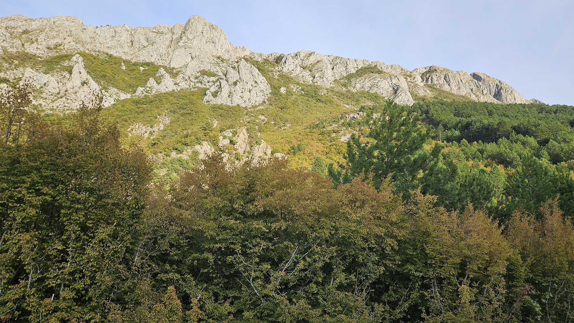
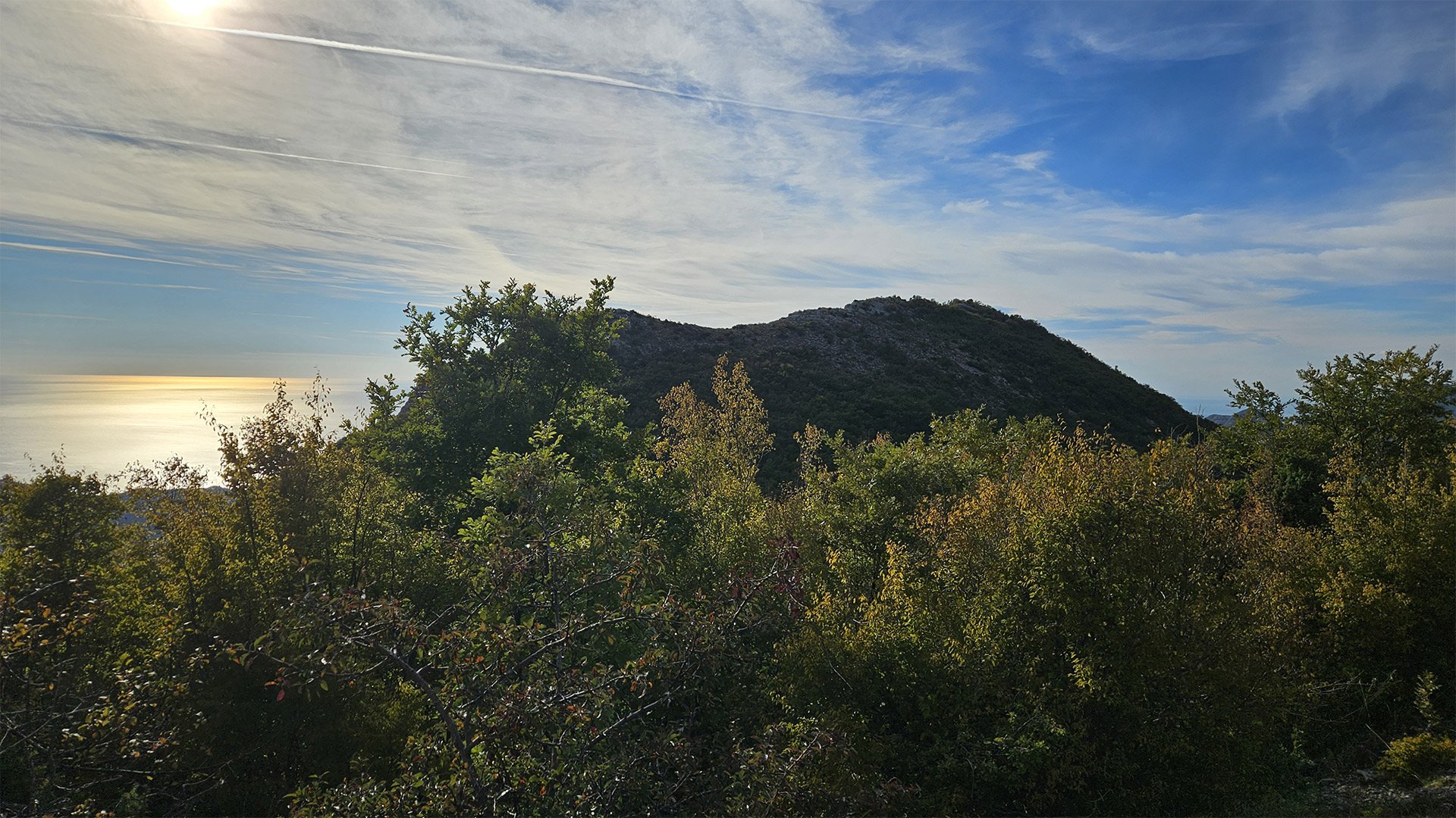
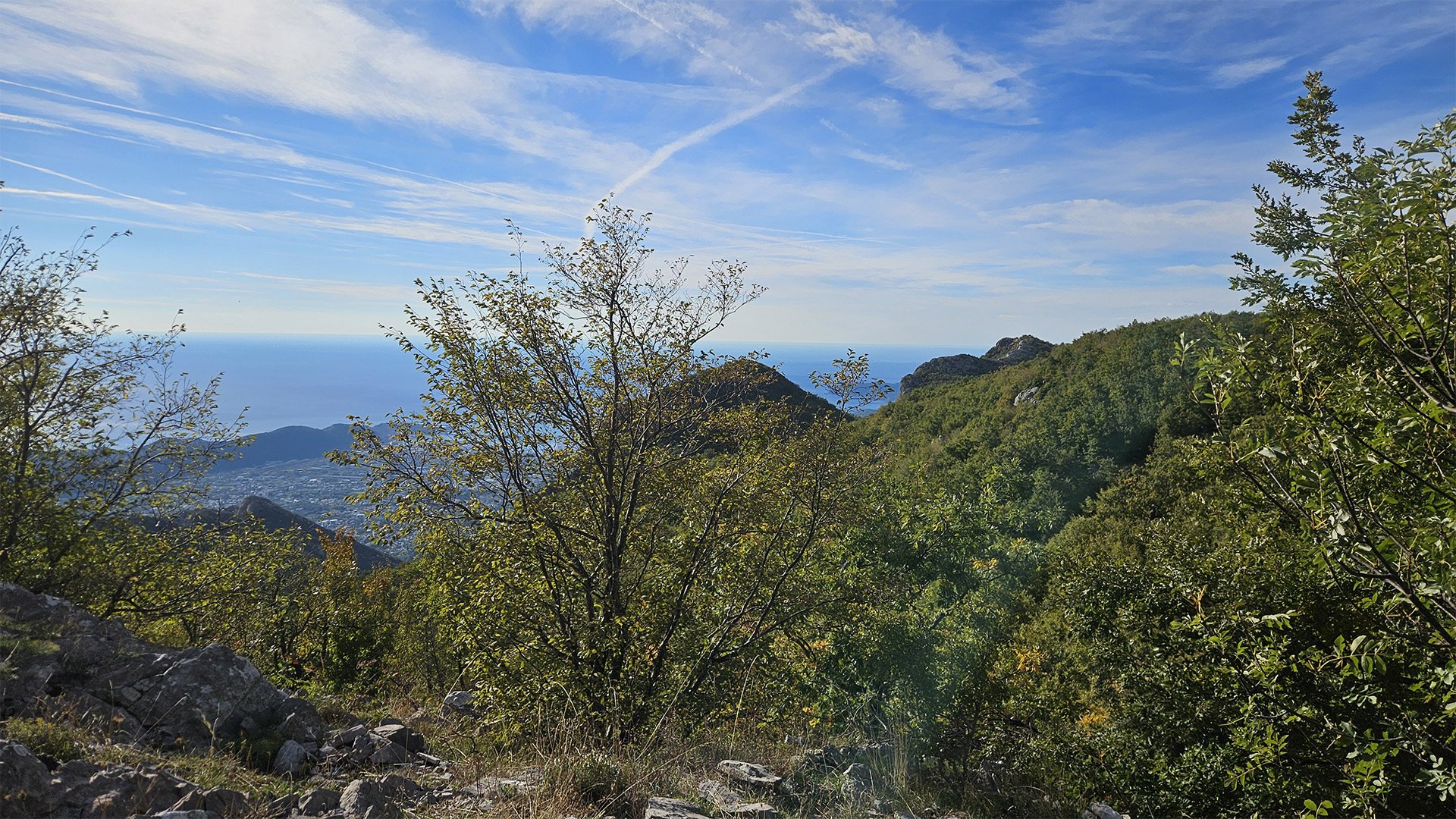
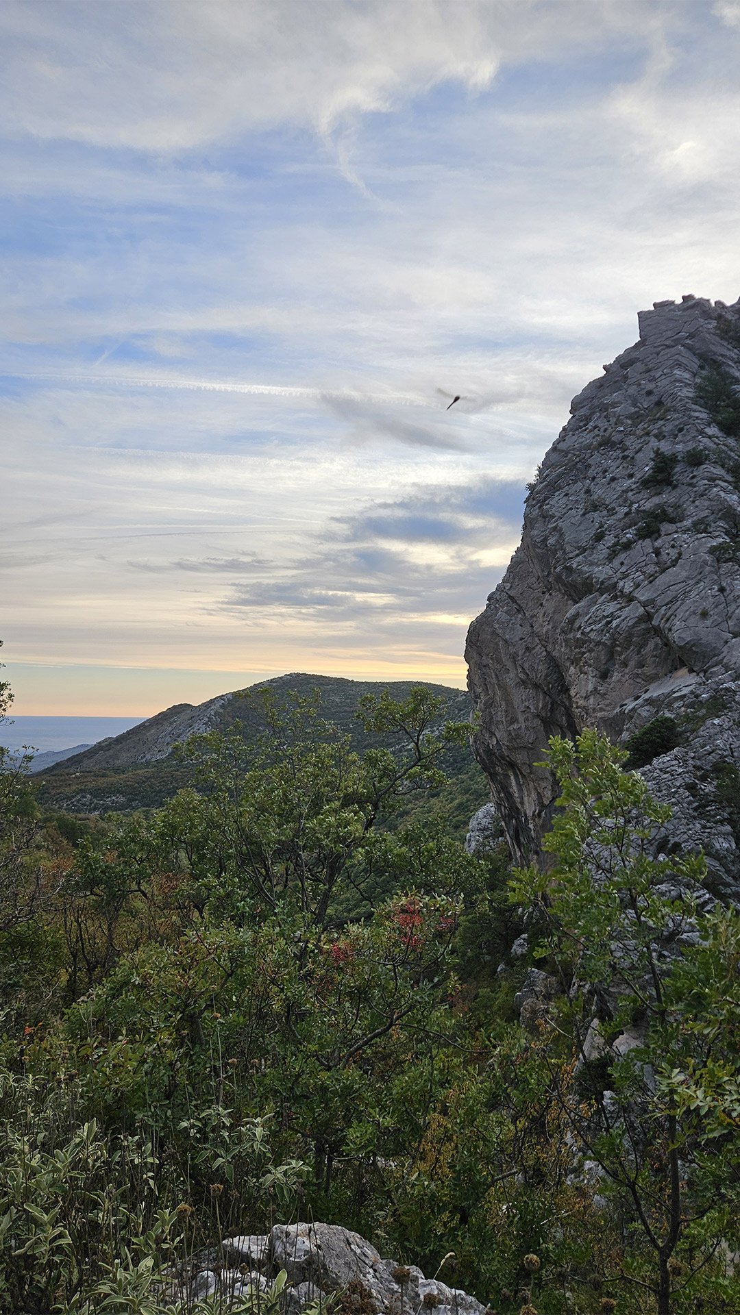
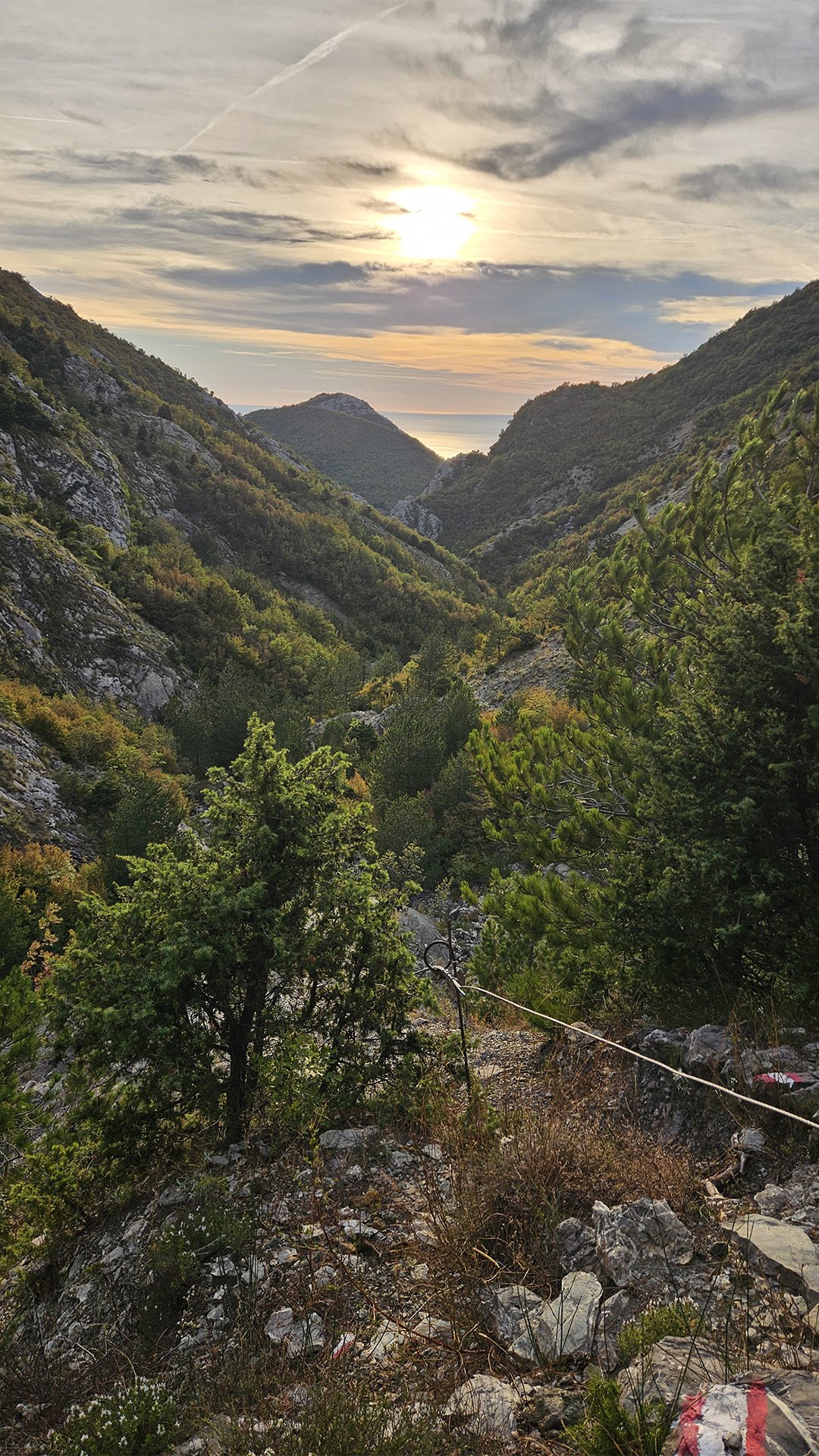
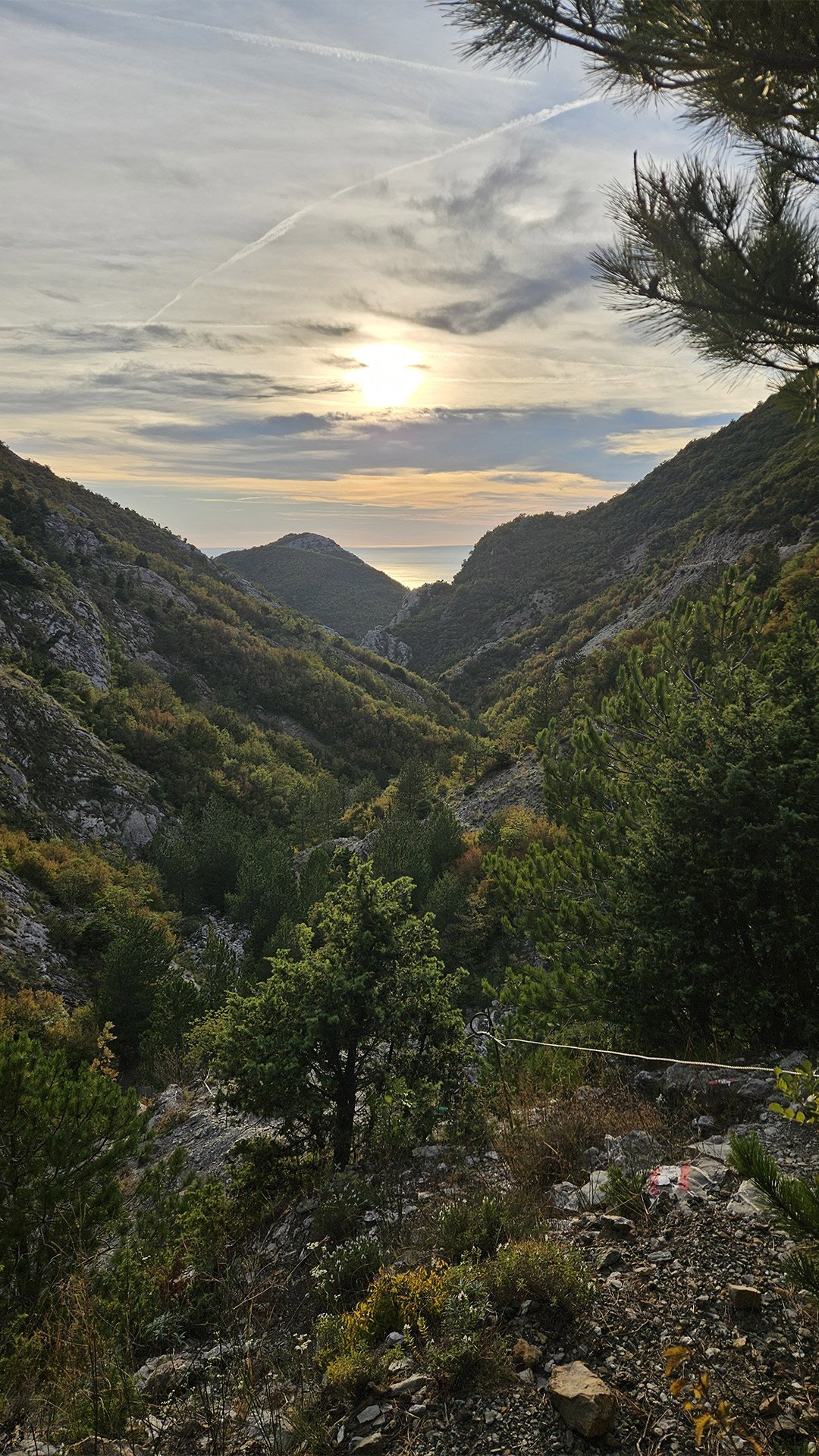
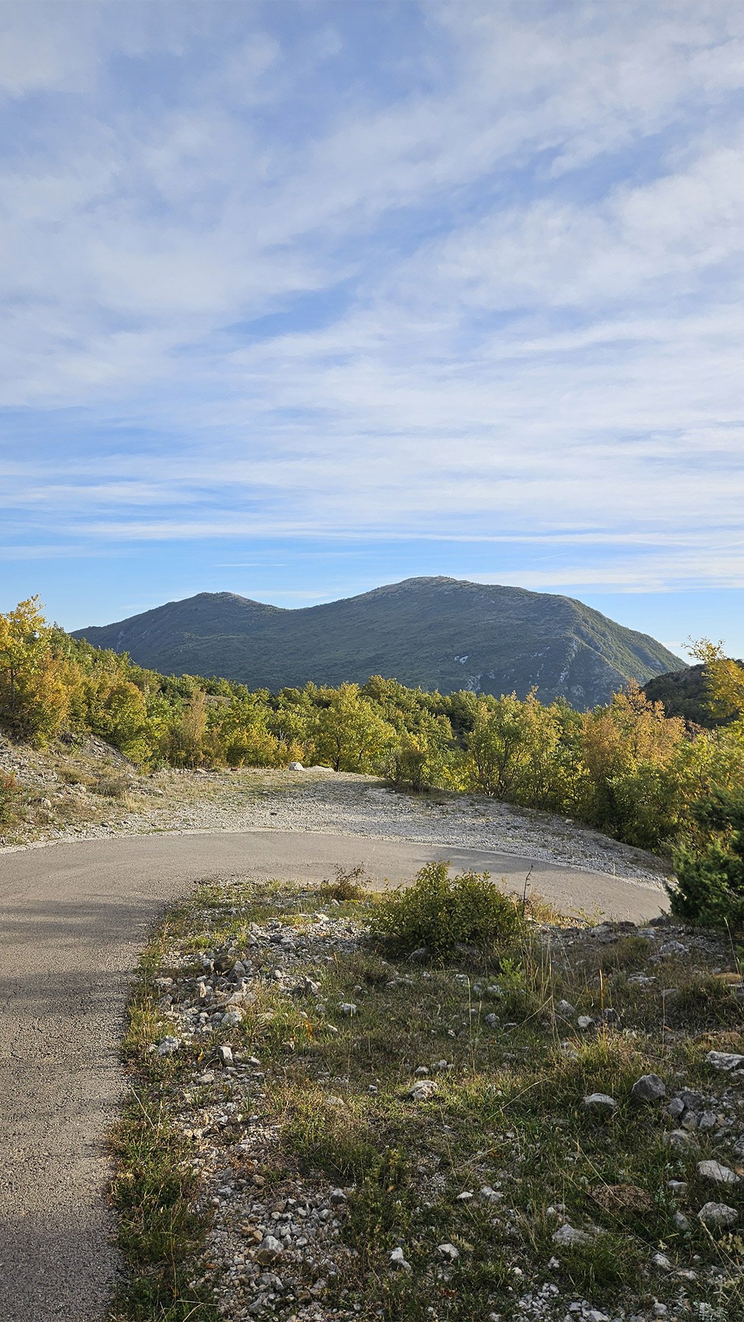
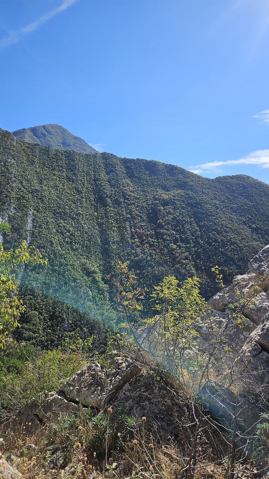
Rumija: a “lighthouse” between the sea and Skadar
Rumija (1,594–1,595 m) is the southernmost major peak of the Che Mountains.
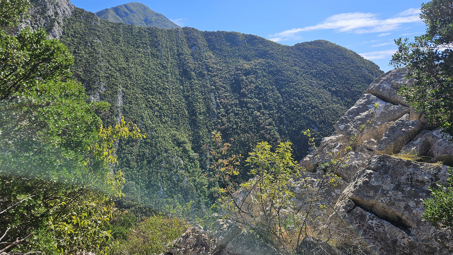
Romija is a mountain range and one of the most striking in its relative height: from the sea to the crest, it’s almost a “wall.” From the summit, on a clear day, the Adriatic, Lake Skadar, and the mountains of Albania are visible. Geologists classify the ridge as part of the Dinaric fold belt, and tourists know it as one of the “three symbols of the coast” (along with Lovcen and Orjen).
At the summit stands the tiny Church of the Holy Trinity, a small chapel built in 2005. It is the finishing line of many hikes and prayer services.
Church of the Holy Trinity: A Temple in the Wind
The stone Church of the Holy Trinity on Rumija is one of the highest permanent shrines on the coast. Its modest structure, metal roof, cross—and almost always windy. It is here, on Pentecost (Trinity Day), that the ancient Cross of John Vladimir, the holy Prince of Duklja, revered as a martyr, is raised. The cross makes its way from surrounding villages (traditionally from Veliki Mikulići) to the summit, and people of various faiths participate in the procession.
An interesting fact: John (Juvan) Vladimir himself was the historical ruler of Duklja in the early medieval period (early 11th century), canonized as a saint; his cult is one of the “binding” themes of Primorye.
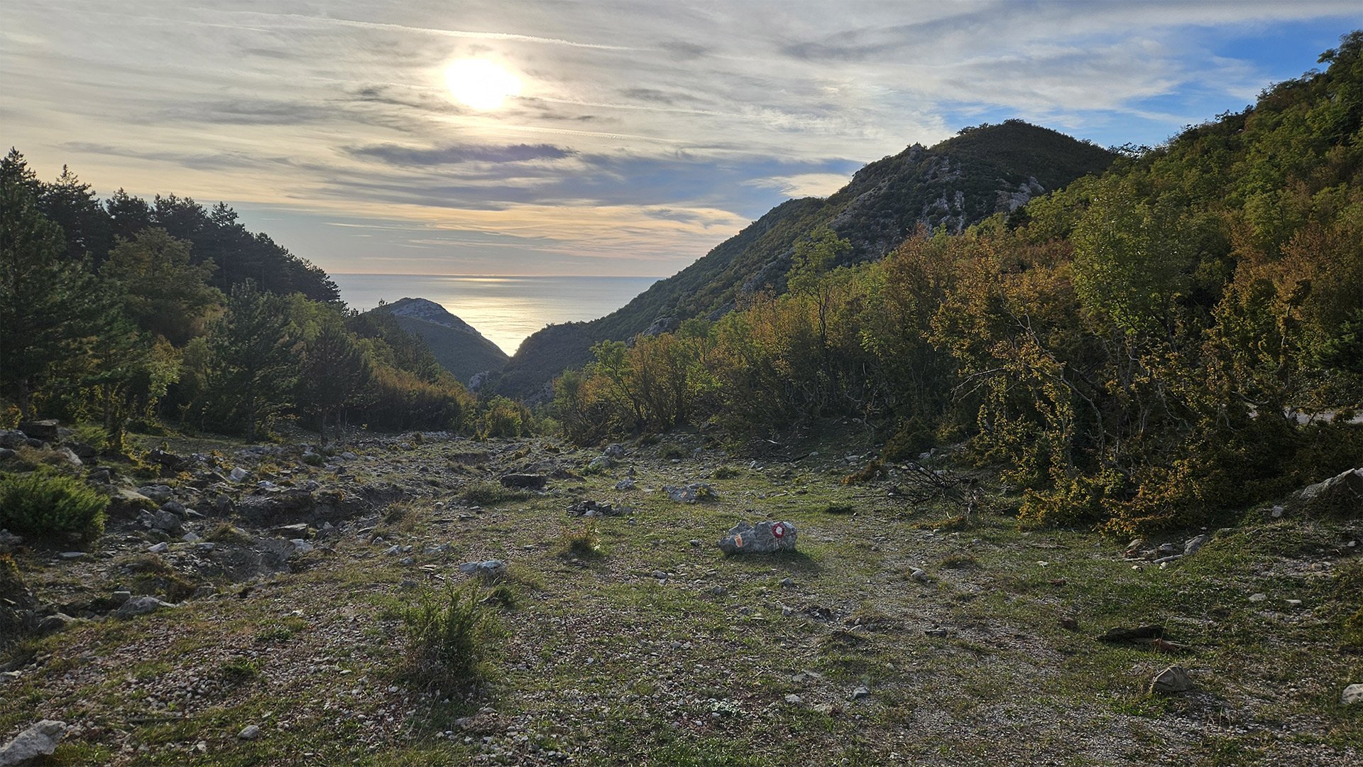
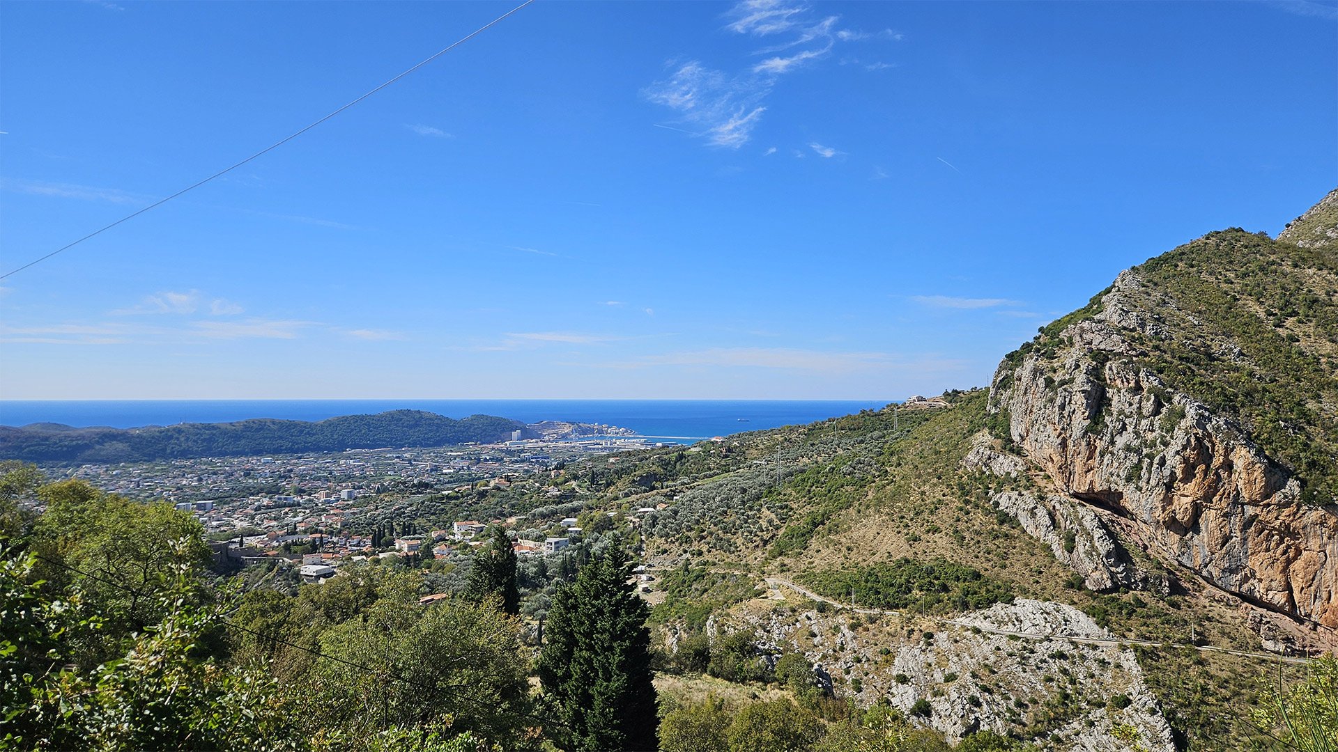
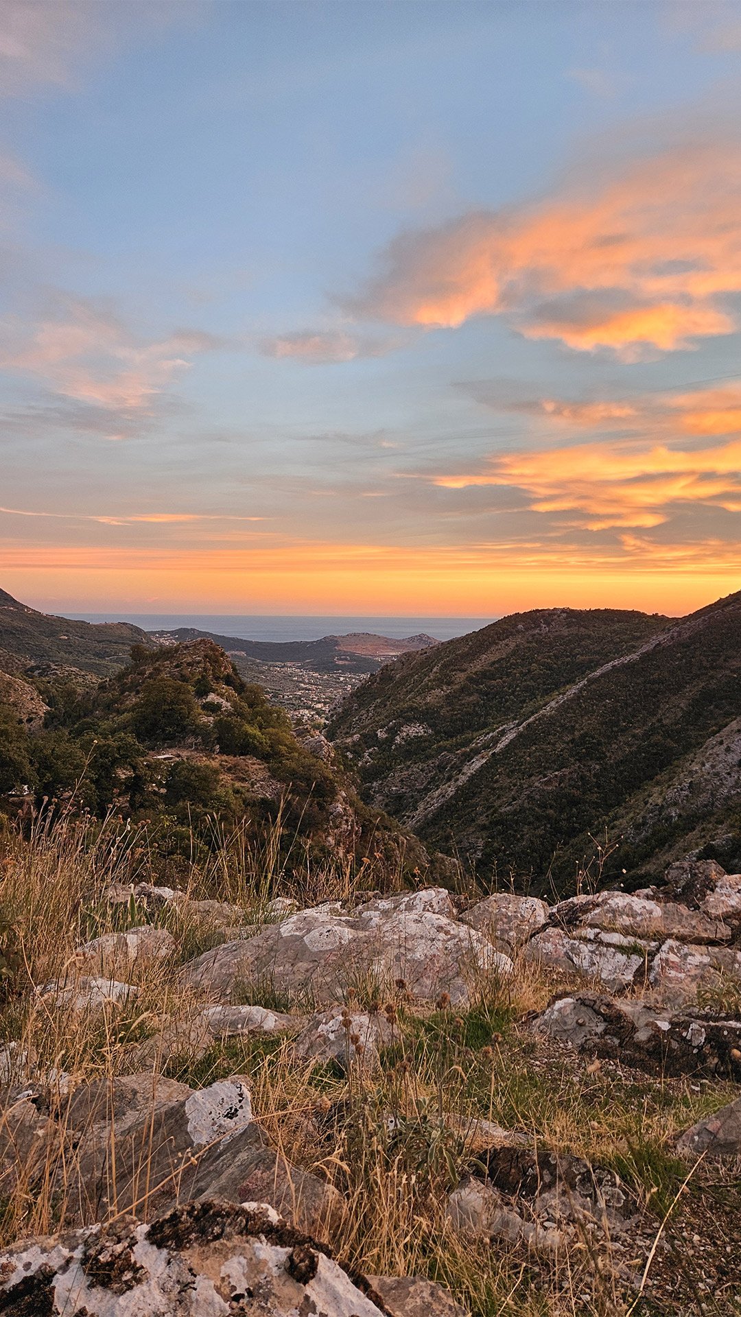
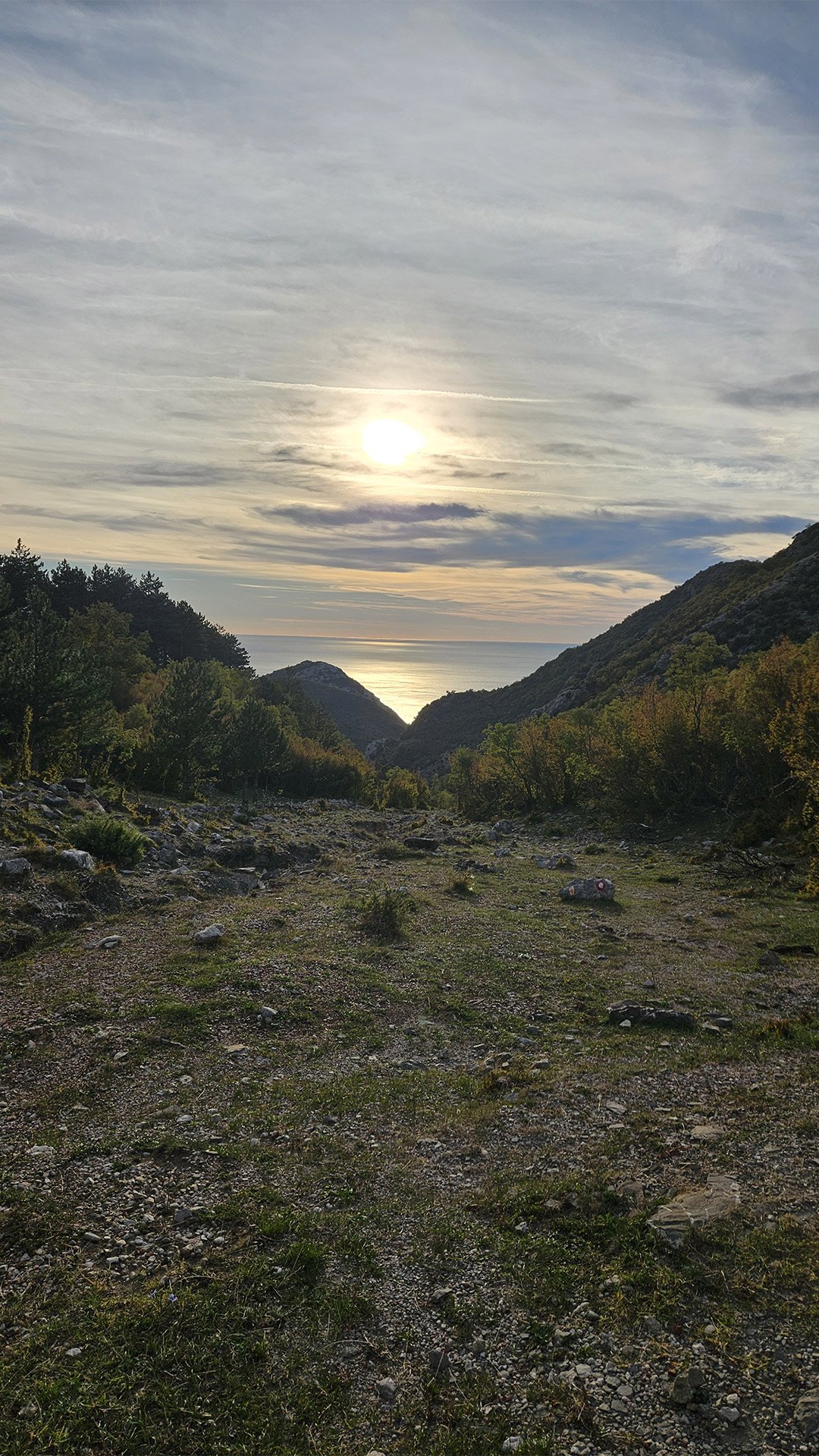
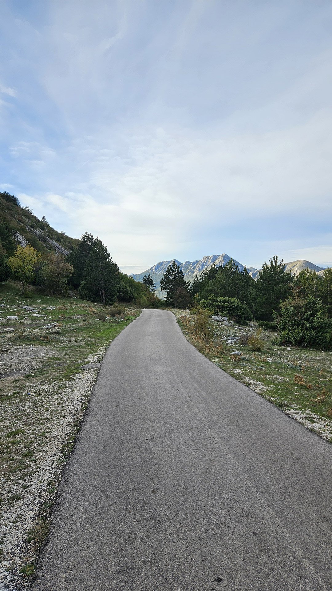
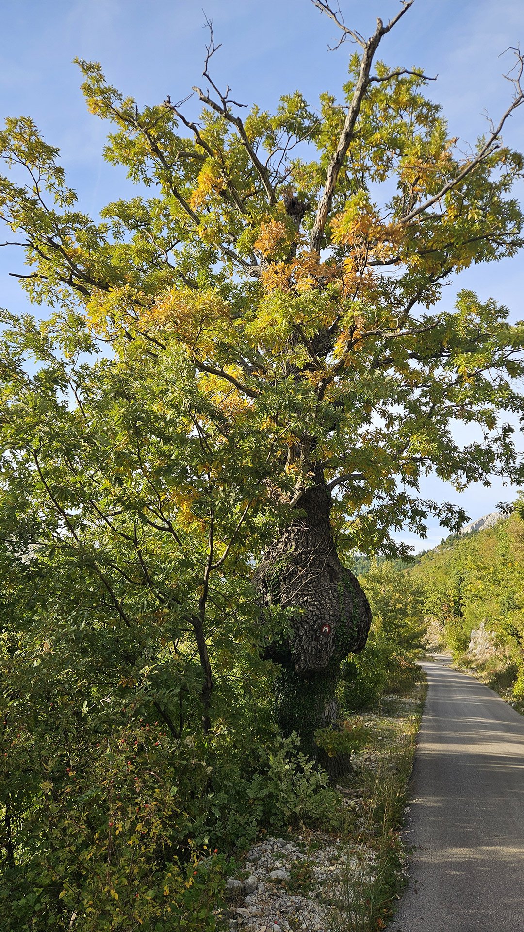
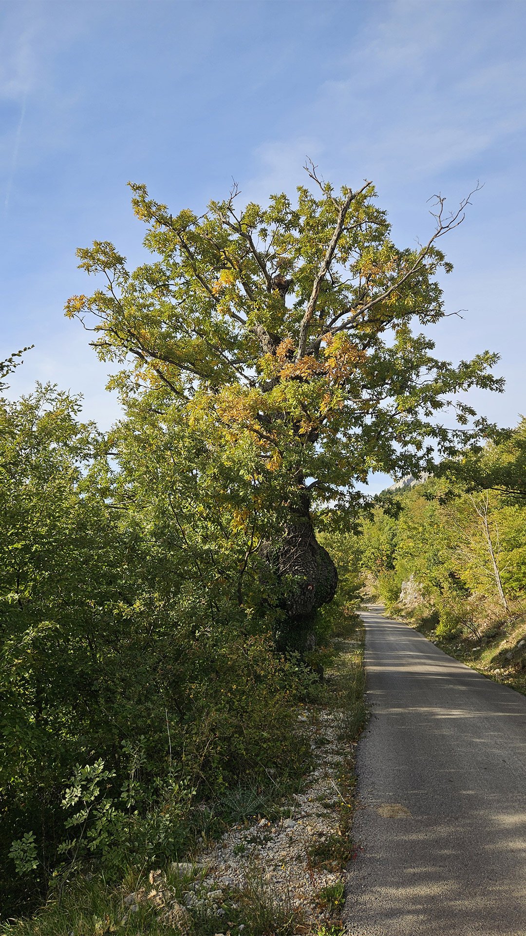
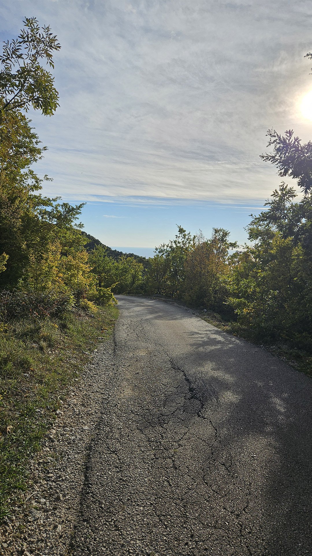
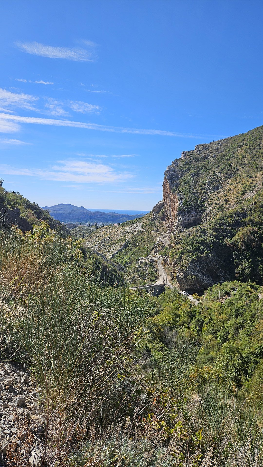
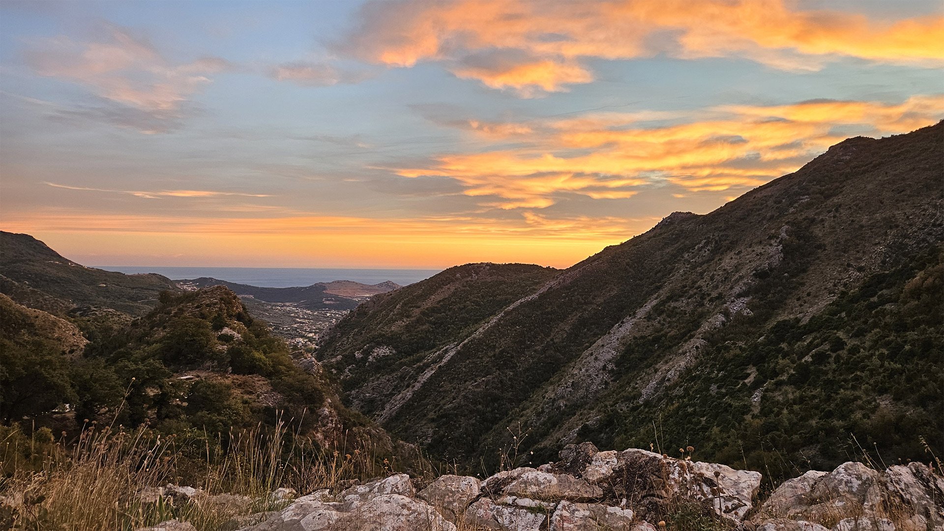
Having begun our journey at 12 noon and ascended to the foot of Mount Rumija, 900 meters above sea level, we had no plans to climb to the summit of Rumija. Instead, we turned back along the road through a picturesque pine forest to the village of Baltina. From there, we followed a familiar route down to Stari Bar, where we once again enjoyed a wonderful garnet beer at the cozy Bedem restaurant.

Helpful notes for future groups
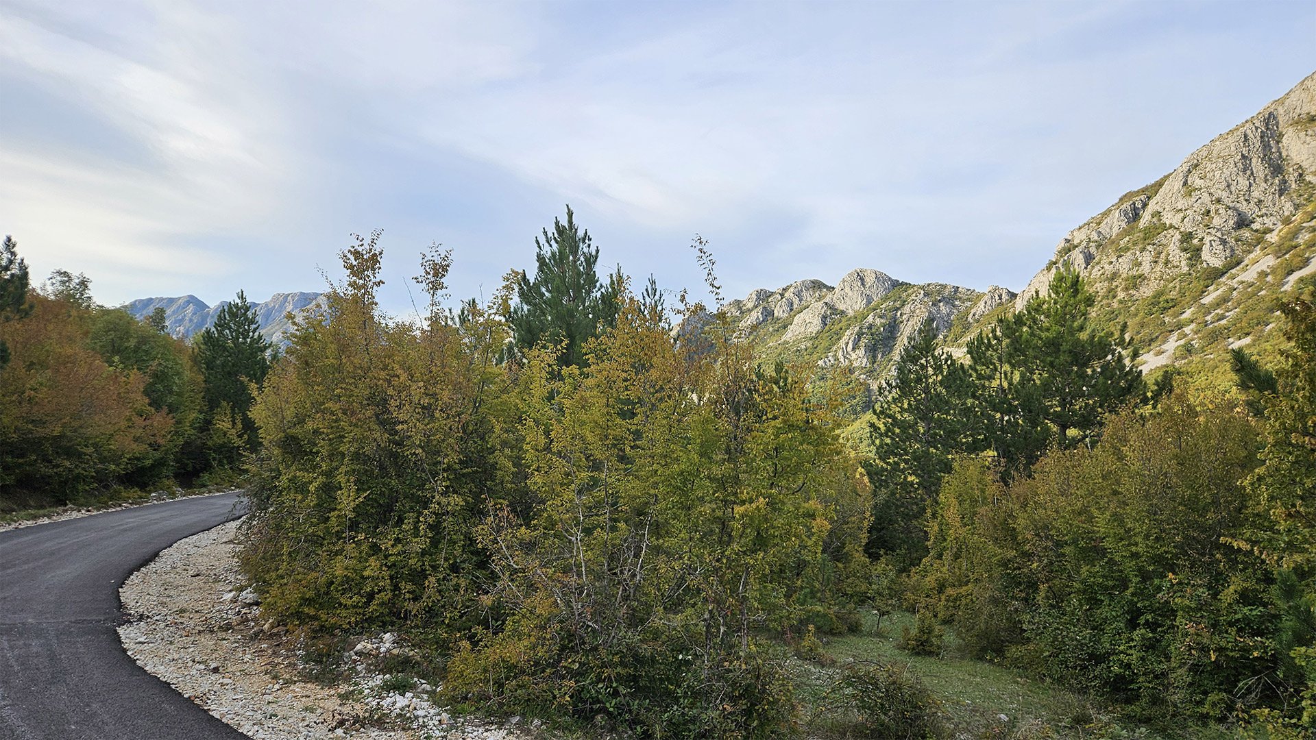
- The best weather window is autumn and early spring: cooler temperatures and stable ground. The summer climb from Dobri Do is shorter but scorching—protection from the sun and water are essential.
- Water. There are springs along the way, including in the Ljumetici area and near Dobri Do, but be sure to bring your own water (at least 2–3 liters per person on a warm day).
- Routes. Rumija is reached by both the “long” route from the walls of Stari Bar (via Menke and the rural area) and the “short” route from Dobri Do. Both are described in detail in Wikiloc/Outdooractive/travel blogs with treks and profiles.
- Culture and etiquette. On the monastery grounds, modest dress, silence, and respect for the nuns are expected. At the summit, near the chapel, the same rules apply: this is a temple, not just a photo spot.
Brief historical information about the route points
- Stari Bar. A fortified town whose core developed in the early Middle Ages; the region’s multi-confessional tradition can be traced back to the 11th century (the Archdiocese of Bar and the proximity of Orthodox and Catholic shrines). Today, the complex is on the UNESCO tentative list.


- Aqueduct. An Ottoman engineering structure from the 16th-17th centuries; destroyed by the 1979 earthquake, then rebuilt.
- Rikavac. A short and accessible canyoning section near Bar—a popular “first canyon” for beginners.
- Menke. An old bridge and waterfall near a rocky sector; a well-known connection for trails and mountain starts from Old Bar.
- Trolj. A local ridge/plateau on the southern slopes of Rumija; a convenient viewing ledge on the way to the rural area.
- Ljumetici → Dobri Do. A pasture “pocket” and a key pocket-pass before the final climb; here are springs and, higher up, a monastery.
- Monastery of St. Sergius of Radonezh. A convent of the Metropolitanate of Montenegro and the Littoral, near Mikulići/Dobri Do; it is involved in rituals and pilgrimages to Rumija.
- Rumija and the Church of the Holy Trinity. The route’s culmination: Bar’s most recognizable peak and the 2005 chapel at its summit; the Cross of St. John Vladimir is brought here annually.